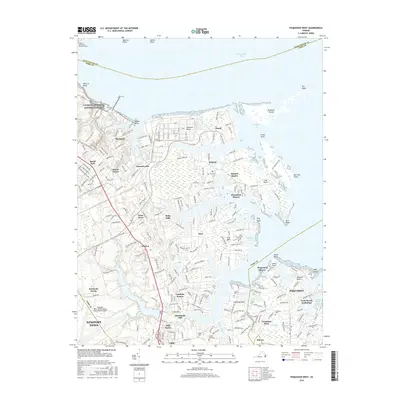
2016 Map of Poquoson West
USGS Topo · Published 2016About this map
The intricate tidal shorelines of the Chesapeake Bay define this coastal landscape, where the York County peninsula fragments into numerous necks and coves. Residential settlements like Hornsbyville, Grafton, and Seaford are woven into a geography shaped by Chisman Cr and Back Cr, reflecting a modern era of suburban growth built upon deep colonial roots. The western edge is bounded by the Colonial National Historical Park, while the southern reaches contain the vital Harwoods Mill Reservoir and the Newport News/Williamsburg International Airport.
Find a feature on this map
68 named features on this map. Tap any name to fly to it.
Don’t see what you’re looking for? This feature index may not catch every label — zoom into the map to look around manually.
Map Details
Editions of this 2016 Poquoson West Map
This is the sole edition of this map. No revisions or reprints were ever made.
Other maps of this area

1906 · Williamsburg
USGS Topo · 1:62,500

1907 · Yorktown
USGS Topo · 1:62,500

1907 · Hampton
USGS Topo · 1:62,500

1916 · Mathews
USGS Topo · 1:62,500

1917 · Mathews
USGS Topo · 1:62,500

1943 · Yorktown
USGS Topo · 1:62,500

1943 · Richmond
USGS Topo · 1:250,000

1944 · Hampton
USGS Topo · 1:24,000

1944 · Yorktown
USGS Topo · 1:24,000

1944 · Messick
USGS Topo · 1:24,000