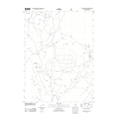
2012 Map of Porcupine Butte
USGS Topo · Published 2012About this map
Porcupine Butte rises as a central landmark in this high-elevation landscape within Siskiyou County, where volcanic geology dictates the terrain. The network of Forest Service roads, including the primary Forest Rte 40 and Medicine Lake Rd, provides access to a series of distinctive subterranean and surface features. Significant geological formations like the Porcupine Lava Tube, Half Mile Tube, and the depressions of Double Hole Crater and Deep Crater reveal the area's volcanic history.
Find a feature on this map
12 named features on this map. Tap any name to fly to it.
Don’t see what you’re looking for? This feature index may not catch every label — zoom into the map to look around manually.
Map Details
Editions of this 2012 Porcupine Butte Map
This is the sole edition of this map. No revisions or reprints were ever made.
Other maps of this area

1886 · Modoc Lava Bed
USGS Topo · 1:250,000

1892 · Modoc Lava-Bed
USGS Topo · 1:250,000

1932 · Bartle
USGS Topo · 1:96,000

1939 · Bartle
USGS Topo · 1:125,000

1952 · Timber Mountain
USGS Topo · 1:62,500

1952 · Medicine Lake
USGS Topo · 1:62,500

1954 · Alturas
USGS Topo · 1:250,000

1958 · Alturas
USGS Topo · 1:250,000

1961 · Hambone
USGS Topo · 1:62,500

1962 · Alturas
USGS Topo · 1:250,000