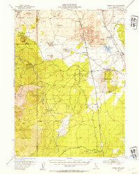
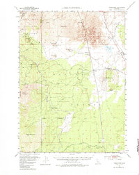
1952 Map of Timber Mountain
USGS Topo · Published 1954About this map
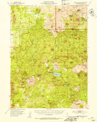
Lava Beds National Monument dominates the northwestern portion of this 1952 survey, revealing a landscape defined by volcanic activity and significant frontier history. The map preserves the site of the Battle of Dry Lake 1873 and Captain Jacks Stronghold, key locations from the Modoc War. Extensive lava fields, including the distinctive Glass Flow and numerous subterranean features like Valentine Cave and Caldwell Ice Caves, illustrate the geological character of the region near the Siskiyou and Modoc County line.
Find a feature on this map
51 named features on this map. Tap any name to fly to it.
Don’t see what you’re looking for? This feature index may not catch every label — zoom into the map to look around manually.
Map Details
Editions of this 1952 Timber Mountain Map
5 editions found
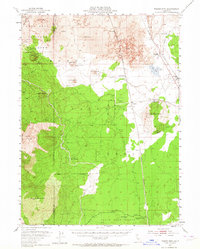
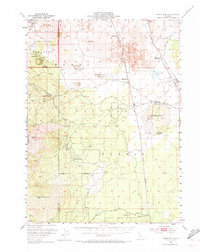
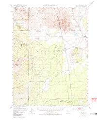
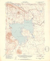
Other maps of this area

1886 · Modoc Lava Bed
USGS Topo · 1:250,000

1892 · Modoc Lava-Bed
USGS Topo · 1:250,000

1932 · Bartle
USGS Topo · 1:96,000

1939 · Bartle
USGS Topo · 1:125,000
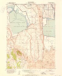
1950 · Mt. Dome
USGS Topo · 1:62,500
1951 · Clear Lake Reservoir
USGS Topo · 1:62,500

1951 · Tulelake
USGS Topo · 1:62,500
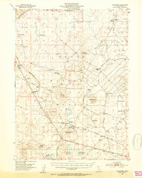
1952 · Hackamore
USGS Topo · 1:62,500
1952 · Medicine Lake
USGS Topo · 1:62,500

1954 · Alturas
USGS Topo · 1:250,000