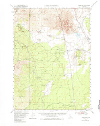
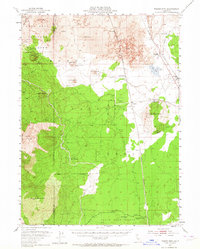
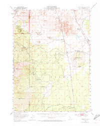
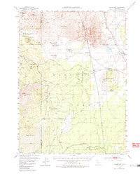
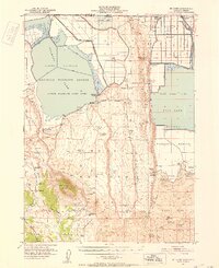
1952 Map of Timber Mtn
USGS Topo · Published 1985About this map
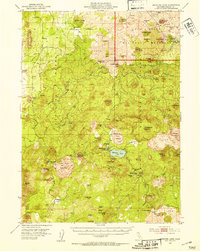
Lava Beds National Monument anchors the northwestern corner of this territory, where volcanic geology dictates the landscape. Notable subterranean and surface features include Captain Jacks Ice Cave, Valentine Cave, and the dramatic Glass Flow near Black Mountain. The map records significant history of the Modoc War, explicitly marking the Battle of Dry Lake 1873 (Site) and two locations of Indian Fortifications (Ruins) that suggest the defensive strategies used during nineteenth-century conflicts.
Find a feature on this map
47 named features on this map. Tap any name to fly to it.
Don’t see what you’re looking for? This feature index may not catch every label — zoom into the map to look around manually.
Map Details
Editions of this 1952 Timber Mtn Map
5 editions found
Other maps of this area

1886 · Modoc Lava Bed
USGS Topo · 1:250,000

1892 · Modoc Lava-Bed
USGS Topo · 1:250,000

1932 · Bartle
USGS Topo · 1:96,000

1939 · Bartle
USGS Topo · 1:125,000
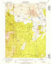
1950 · Mt. Dome
USGS Topo · 1:62,500
1951 · Clear Lake Reservoir
USGS Topo · 1:62,500

1951 · Tulelake
USGS Topo · 1:62,500
1952 · Timber Mountain
USGS Topo · 1:62,500
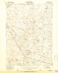
1952 · Hackamore
USGS Topo · 1:62,500
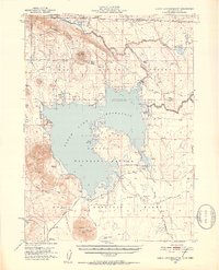
1952 · Medicine Lake
USGS Topo · 1:62,500