
1951 Map of Tulelake
USGS Topo · Published 1953About this map
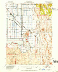
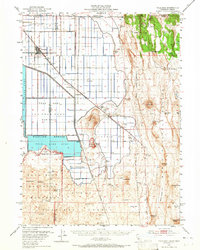
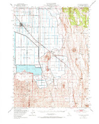
The reclaimed basin of Tule Lake Sump dominates this 1951 topographic study, illustrating a landscape dramatically altered by the Klamath Project's drainage efforts. The town of Tulelake serves as the hub of this agricultural frontier, flanked by the Great Northern and Southern Pacific rail lines that once facilitated the movement of crops from settlements like Stronghold and Newell. The grid-like road system, featuring Golden State Highway and Havilina Road, cuts across the former lakebed toward the rugged volcanic terrain to the south.
Find a feature on this map
65 named features on this map. Tap any name to fly to it.
Don’t see what you’re looking for? This feature index may not catch every label — zoom into the map to look around manually.
Map Details
Editions of this 1951 Tulelake Map
4 editions found
Other maps of this area

1886 · Modoc Lava Bed
USGS Topo · 1:250,000

1889 · Klamath
USGS Topo · 1:250,000

1892 · Modoc Lava-Bed
USGS Topo · 1:250,000

1894 · Klamath
USGS Topo · 1:250,000

1950 · Mt. Dome
USGS Topo · 1:62,500

1951 · Clear Lake Reservoir
USGS Topo · 1:62,500

1952 · Timber Mountain
USGS Topo · 1:62,500

1952 · Hackamore
USGS Topo · 1:62,500

1952 · Medicine Lake
USGS Topo · 1:62,500

1954 · Alturas
USGS Topo · 1:250,000