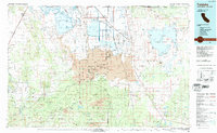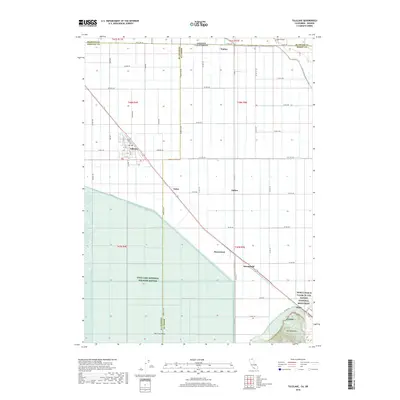
1951 Map of Tulelake
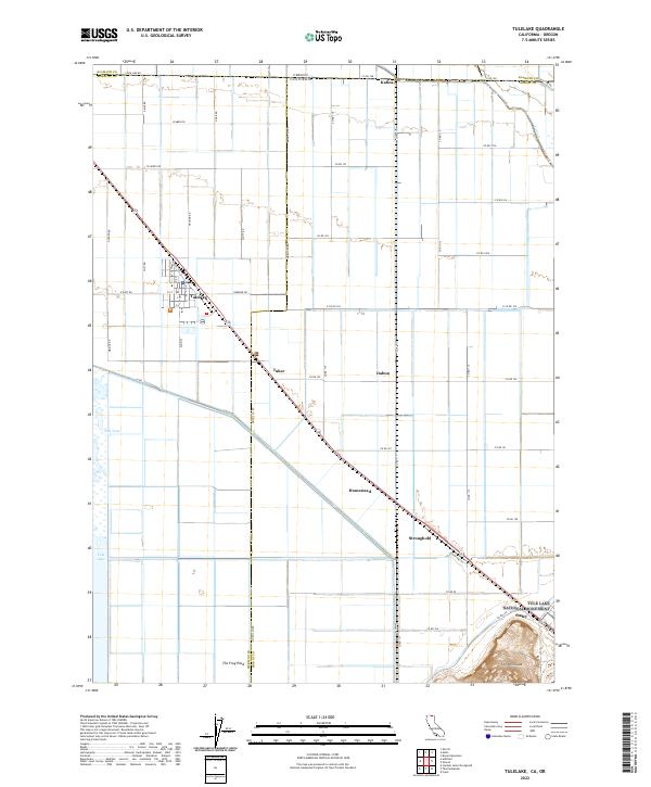
USGS Topo · Published 1953About this map
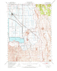
The high desert landscape along the Oregon California border reveals a complex history of reclamation and conflict. Centered on the drained bed of Tule Lake, the map shows the reclaimed farmland of the Tulelake basin, where a geometric grid of roads like East-West Rd and Havilina Road serves modern agriculture and the town of Newell. This settlement developed near the Tulelake Airport, while the Southern Pacific and Great Northern railroads cross the basin, connecting ranching and farming outposts such as Dalton, Tuber, and Stronghold.
Find a feature on this map
63 named features on this map. Tap any name to fly to it.
Don’t see what you’re looking for? This feature index may not catch every label — zoom into the map to look around manually.
Map Details
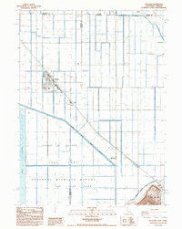
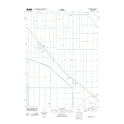
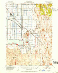
Editions of this 1951 Tulelake Map
4 editions found

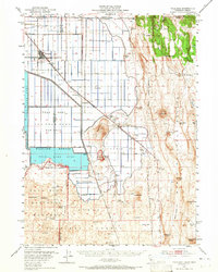
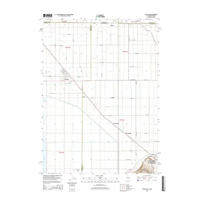
Historical Maps of Tulelake Through Time
7 maps found