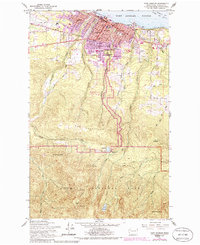
1941 Map of Port Angeles
USGS Topo · Published 1958About this map
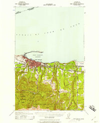
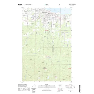
Port Angeles serves as the focal point of this 1941 survey, which illustrates the city’s strategic maritime position between the Strait of Juan de Fuca and the northern slopes of the Olympic Range. The prominent Ediz Hook sand spit curves around the Port Angeles Harbor, protecting the waterfront and the Angeles L H at its tip. This edition reveals a mix of industrial and rural development, where the Milwaukee Road and Olympic Highway connect coastal settlements like Chicago to the timberlands. To the south, the landscape transitions into The Foothills, where ranching and early park infrastructure are evident through features like Krajewski Ranch and the Ennis Guard Station. The map captures the boundary between civilization and the wild interiors of Olympic National Park, showing early water management at the Port Angeles Dam and recreational spots like Lake Angeles.
Find a feature on this map
49 named features on this map. Tap any name to fly to it.
Don’t see what you’re looking for? This feature index may not catch every label — zoom into the map to look around manually.
Map Details
Editions of this 1941 Port Angeles Map
This is the sole edition of this map. No revisions or reprints were ever made.
Historical Maps of Port Angeles Through Time
11 maps found
1918 Port Angeles
Clallam County, WA
1941 Port Angeles
Clallam County, WA
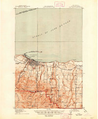
1950 Port Angeles
Clallam County, WA
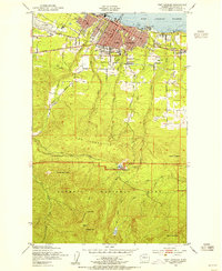
1961 Port Angeles
Clallam County, WA
1961 Port Angeles
Clallam County, WA

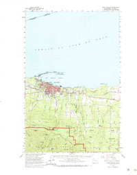
1979 Port Angeles
Clallam County, WA
2011 Port Angeles
Clallam County, WA
2014 Port Angeles
Clallam County, WA
2017 Port Angeles
Clallam County, WA
2020 Port Angeles
Clallam County, WA
2023 Port Angeles
Clallam County, WA