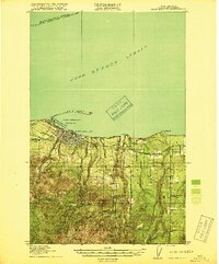
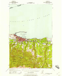
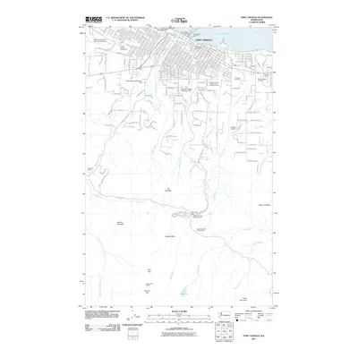
1918 Map of Port Angeles
USGS Topo · Published 1918About this map
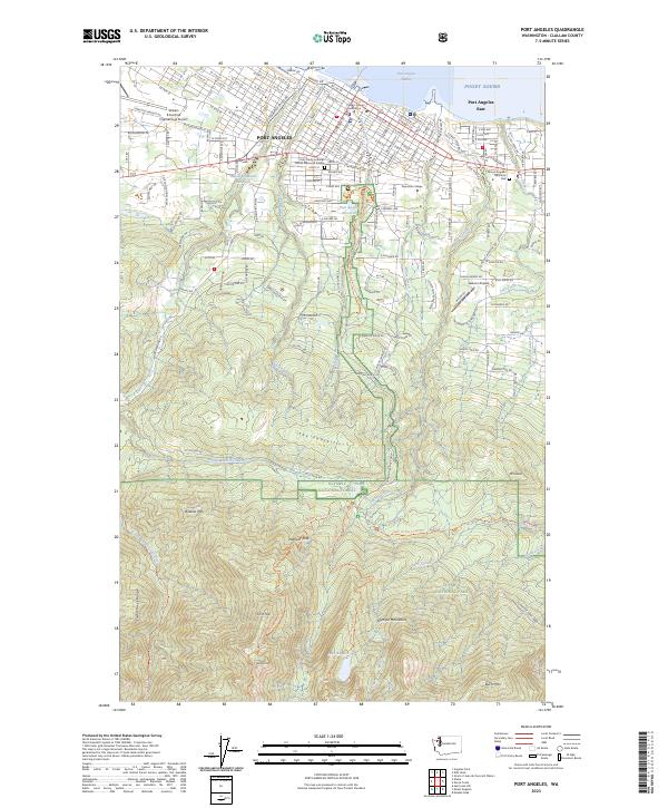
Port Angeles and its sheltered Port Angeles Harbor serve as the focal point of this 1917 coastal survey. The unique geography of Ediz Hook defines the northern edge of the harbor, while the adjacent U.S. Naval and Military Reservation and The Lagoons mark the transition from maritime activity to the dense timberlands of the interior. The map illustrates an early transportation network including the Crescent Lake Logging Road and the Seattle Port Angeles Road, reflecting the region's reliance on forestry and regional connectivity.
Find a feature on this map
35 named features on this map. Tap any name to fly to it.
Don’t see what you’re looking for? This feature index may not catch every label — zoom into the map to look around manually.
Map Details
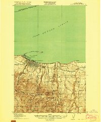
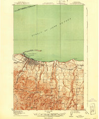
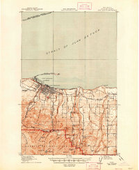
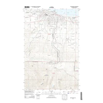
Editions of this 1918 Port Angeles Map
4 editions found
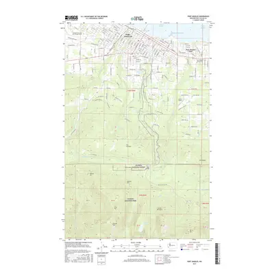
Historical Maps of Port Angeles Through Time
11 maps found
1918 Port Angeles
Clallam County, WA
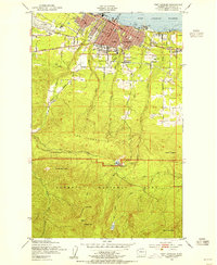
1941 Port Angeles
Clallam County, WA
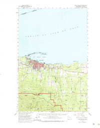
1950 Port Angeles
Clallam County, WA
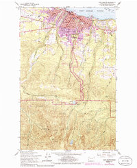
1961 Port Angeles
Clallam County, WA
1961 Port Angeles
Clallam County, WA

1979 Port Angeles
Clallam County, WA
2011 Port Angeles
Clallam County, WA
2014 Port Angeles
Clallam County, WA
2017 Port Angeles
Clallam County, WA
2020 Port Angeles
Clallam County, WA
2023 Port Angeles
Clallam County, WA