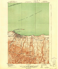
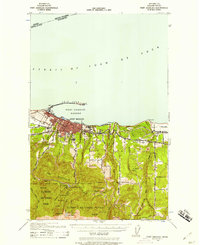
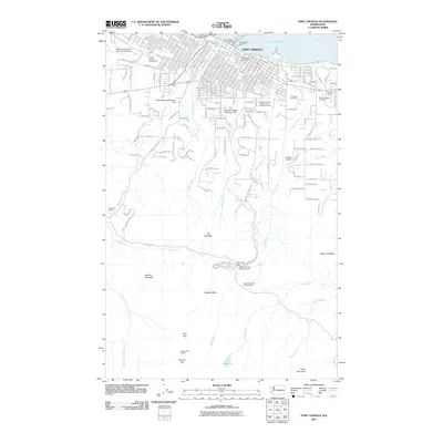
1918 Map of Port Angeles
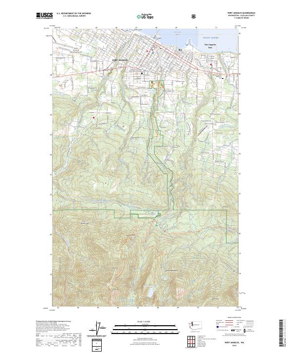
USGS Topo · Published 1940About this map
The sheltered waters of Port Angeles Harbor and the long, natural breakwater of Ediz Hook define this coastal landscape at the foot of the Olympic Mountains. This survey reveals a community deeply tied to its maritime and industrial location, featuring the U.S. Naval and Military Reservation and the Ediz Hook Bird Reservation. Transportation networks like the Chicago Milwaukee and St Paul railroad and the Pacific Highway hug the coastline, connecting the city to the timbered interior and eastern settlements like Reeveton.
Find a feature on this map
44 named features on this map. Tap any name to fly to it.
Don’t see what you’re looking for? This feature index may not catch every label — zoom into the map to look around manually.
Map Details
Editions of this 1918 Port Angeles Map
4 editions found
Historical Maps of Port Angeles Through Time
11 maps found
1918 Port Angeles
Clallam County, WA
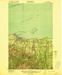
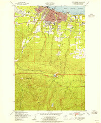
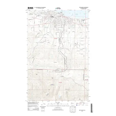
1941 Port Angeles
Clallam County, WA
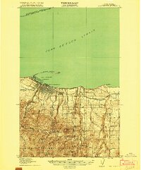
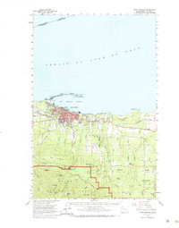
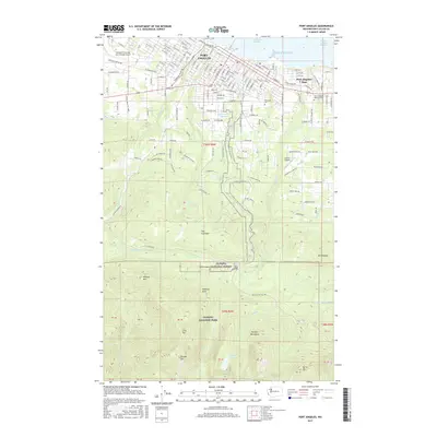
1950 Port Angeles
Clallam County, WA
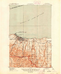
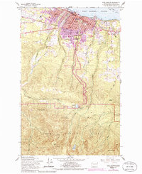
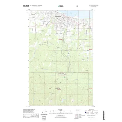
1961 Port Angeles
Clallam County, WA
1961 Port Angeles
Clallam County, WA

1979 Port Angeles
Clallam County, WA
2011 Port Angeles
Clallam County, WA
2014 Port Angeles
Clallam County, WA
2017 Port Angeles
Clallam County, WA
2020 Port Angeles
Clallam County, WA
2023 Port Angeles
Clallam County, WA