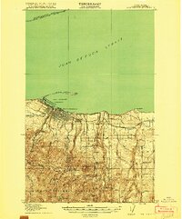
1918 Map of Port Angeles
USGS Topo · Published 1918About this map
Ediz Hook extends into the Juan de Fuca Strait, forming the sheltered Port Angeles Harbor during this 1917 survey. The growing city of Port Angeles sits at the nexus of the shoreline and the timber-rich mountains, with a prominent U.S. Naval and Military Reservation guarding the western harbor. To the south, the landscape rises steeply through The Foothills into the Olympic National Forest, where features like Lake Angeles and Wildcat Mtn dominate the high country.
Find a feature on this map
40 named features on this map. Tap any name to fly to it.
Don’t see what you’re looking for? This feature index may not catch every label — zoom into the map to look around manually.
Map Details
Editions of this 1918 Port Angeles Map
4 editions found
Other maps of this area

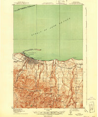
1918 · Port Angeles
USGS Topo · 1:62,500

1919 · Port Crescent
USGS Topo · 1:62,500

1935 · Mount Olympus
USGS Topo · 1:62,500

1938 · Mt Constance
USGS Topo · 1:125,000

1938 · Dungeness
USGS Topo · 1:62,500

1939 · Dungeness
USGS Topo · 1:62,500

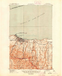
1941 · Port Angeles
USGS Topo · 1:62,500

1942 · Mount Olympus
USGS Topo · 1:62,500

1944 · Mt. Angeles
USGS Topo · 1:62,500

1946 · Mt. Angeles
USGS Topo · 1:62,500