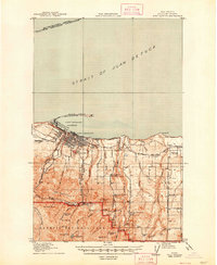
1918 Map of Port Angeles
USGS Topo · Published 1948About this map
Port Angeles serves as the focal point of this coastal landscape, situated along the Port Angeles Harbor and sheltered by the prominent curve of Ediz Hook. At this time, the city’s grid extends toward the shoreline where the Chicago Milwaukee and St Paul railroad traces the coast. The map illustrates a transition from maritime activity, including the U.S. Naval and Military Reservation, to the dense wilderness of Olympic National Park in the south.
Find a feature on this map
47 named features on this map. Tap any name to fly to it.
Don’t see what you’re looking for? This feature index may not catch every label — zoom into the map to look around manually.
Map Details
Editions of this 1918 Port Angeles Map
4 editions found
Other maps of this area

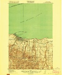
1918 · Port Angeles
USGS Topo · 1:62,500

1919 · Port Crescent
USGS Topo · 1:62,500

1935 · Mount Olympus
USGS Topo · 1:62,500

1938 · Mt Constance
USGS Topo · 1:125,000

1938 · Dungeness
USGS Topo · 1:62,500

1939 · Dungeness
USGS Topo · 1:62,500

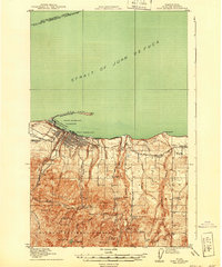
1941 · Port Angeles
USGS Topo · 1:62,500

1942 · Mount Olympus
USGS Topo · 1:62,500

1944 · Mt. Angeles
USGS Topo · 1:62,500

1946 · Mt. Angeles
USGS Topo · 1:62,500