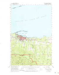
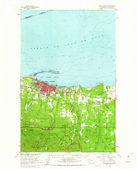
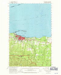
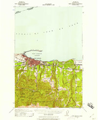
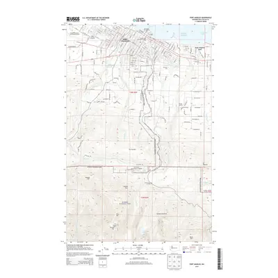
1961 Map of Port Angeles
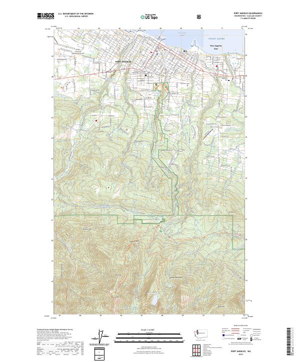
USGS Topo · Published 1984About this map
The curved natural breakwater of Ediz Hook shelters the Port Angeles Harbor and its eponymous city, serving as a gateway to the Olympic Peninsula in the early 1960s. This survey records the industrial and residential development of Port Angeles, where the Chicago Milwaukee St Paul and Pacific railroad follows the shoreline past the Coast Guard Station and through town. South of the harbor, the terrain rises sharply from the city grid into The Foothills, transitioning from urban centers to rural holdings like the Cameron Homestead and Little Oklahoma.
Find a feature on this map
69 named features on this map. Tap any name to fly to it.
Don’t see what you’re looking for? This feature index may not catch every label — zoom into the map to look around manually.
Map Details
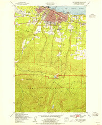
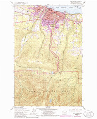
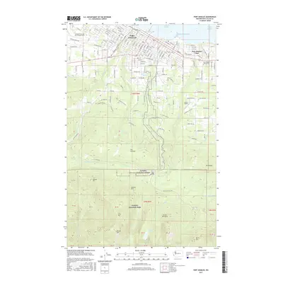
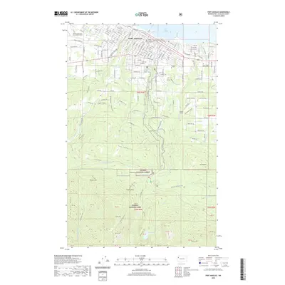
Editions of this 1961 Port Angeles Map
3 editions found
Historical Maps of Port Angeles Through Time
11 maps found
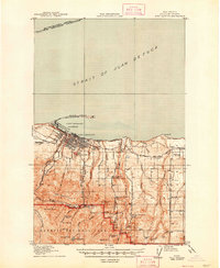
1918 Port Angeles
Clallam County, WA
1941 Port Angeles
Clallam County, WA
1950 Port Angeles
Clallam County, WA
1961 Port Angeles
Clallam County, WA
1961 Port Angeles
Clallam County, WA

1979 Port Angeles
Clallam County, WA
2011 Port Angeles
Clallam County, WA
2014 Port Angeles
Clallam County, WA
2017 Port Angeles
Clallam County, WA
2020 Port Angeles
Clallam County, WA
2023 Port Angeles
Clallam County, WA