Loading...
Loading map...2023 Map of Port Jefferson
USGS Topo · Published 2023About this map
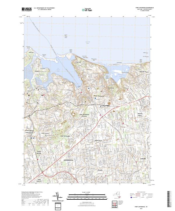
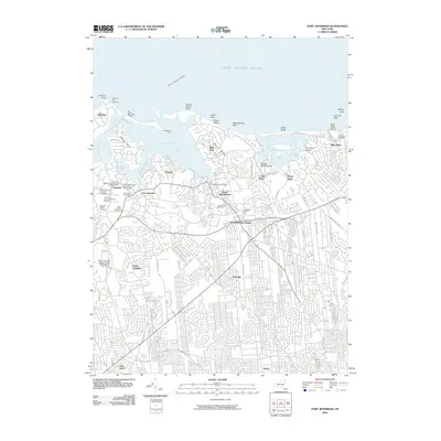
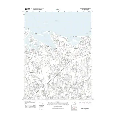
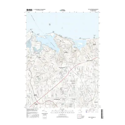
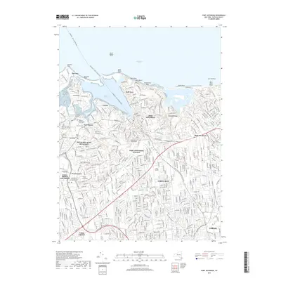
Port Jefferson Harbor and its surrounding maritime communities dominate this north shore landscape, where the long-standing Bridgeport - Port Jefferson Ferry continues to connect Long Island to the Connecticut coast. The map reveals a dense concentration of local history across Setauket, Poquott, and Belle Terre, including several significant burial grounds such as the Caroline Episcopal Churchyard and Cem and the Bethel African American Cem.
Find a feature on this map
54 named features on this map. Tap any name to fly to it.
Don’t see what you’re looking for? This feature index may not catch every label — zoom into the map to look around manually.
Map Details
Date Portrayed2023
Date Published2023
PublisherU.S. Geological Survey
Map TypeTopographic
Scale1:24,000
Physical Dimensions24 x 29 inches
Editions of this 2023 Port Jefferson Map
This is the sole edition of this map. No revisions or reprints were ever made.
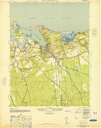
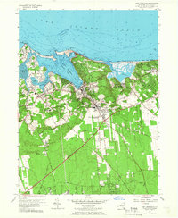
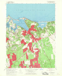
Historical Maps of Brookhaven Through Time
8 maps found
Featured Locations
Source Details
SourceU.S. Geological Survey
CopyrightPublic Domain