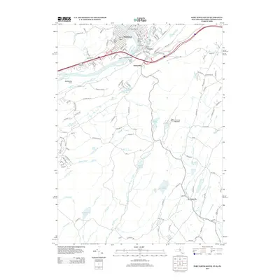
2013 Map of Port Jervis South
USGS Topo · Published 2013About this map
The Delaware River Gorge and the Neversink River converge at the tri-state junction of New Jersey, New York, and Pennsylvania, a geographic anchor for the riverfront communities of Matamoras, Tristates, and Duttonville. This 2013 topographic study documents the complex hydrology of the Kittatinny Valley, where Clove Brook and Shimers Brook thread through a landscape punctuated by Lake Rutherford, Steeny Kill Lake, and Lake Marcia. The map details the transition from the concentrated residential streets of Matamoras to the higher elevations of Kittatinny Mountain and High Point. Local history is preserved through labels for the Saint Marys Cem and Seely Cem, alongside the Tristate Bible Camp at Carpenters Point. From the broad expanse of Mashipacong Island to the Mid-Delaware Bridge, the map provides a comprehensive view of the transportation and water networks that have defined this border region for generations.
Find a feature on this map
125 named features on this map. Tap any name to fly to it.
Don’t see what you’re looking for? This feature index may not catch every label — zoom into the map to look around manually.
Map Details
Editions of this 2013 Port Jervis South Map
This is the sole edition of this map. No revisions or reprints were ever made.
Other maps of this area

1888 · Franklin
USGS Topo · 1:62,500

1891 · Wallpack
USGS Topo · 1:62,500

1893 · Wallpack
USGS Topo · 1:62,500

1894 · Franklin
USGS Topo · 1:62,500

1897 · Franklin
USGS Topo · 1:62,500

1903 · Franklin Furnace
USGS Topo · 1:62,500

1906 · Port Jervis
USGS Topo · 1:62,500

1908 · Port Jervis
USGS Topo · 1:62,500

1913 · Milford
USGS Topo · 1:62,500

1915 · Milford
USGS Topo · 1:62,500