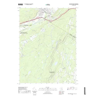
2019 Map of Port Jervis South
USGS Topo · Published 2019About this map
Port Jervis sits at a historic tri-state crossroads, where New York, New Jersey, and Pennsylvania converge near the confluence of the Delaware River and the Neversink River. This landscape is defined by the sharp transition from the river valley floor to the steep slopes of Kittatinny Mtn, crowned by the notable High Point landmark. The map documents the enduring infrastructure of the region, from the Mid-Delaware Bridge to the cemeteries of Tristates, including Laurel Grove Cem and Neversink Cem.
Find a feature on this map
108 named features on this map. Tap any name to fly to it.
Don’t see what you’re looking for? This feature index may not catch every label — zoom into the map to look around manually.
Map Details
Editions of this 2019 Port Jervis South Map
This is the sole edition of this map. No revisions or reprints were ever made.
Other maps of this area

1888 · Franklin
USGS Topo · 1:62,500

1891 · Wallpack
USGS Topo · 1:62,500

1893 · Wallpack
USGS Topo · 1:62,500

1894 · Franklin
USGS Topo · 1:62,500

1897 · Franklin
USGS Topo · 1:62,500

1903 · Franklin Furnace
USGS Topo · 1:62,500

1906 · Port Jervis
USGS Topo · 1:62,500

1908 · Port Jervis
USGS Topo · 1:62,500

1913 · Milford
USGS Topo · 1:62,500

1915 · Milford
USGS Topo · 1:62,500