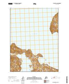
2020 Map of Port Moller A-6 NE
USGS Topo · Published 2020About this map
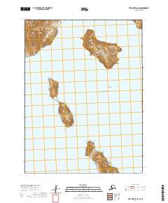
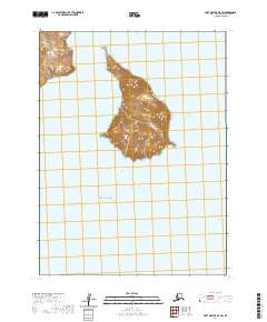
Ukolnoi Island stands prominently in the northeastern corner of this remote coastal survey, its steep topographic contours rising directly from the Pacific Ocean. The landscape is dominated by the maritime environment of the Aleutians East Borough, where the southern coastline is deeply indented by Dolgoi Harbor. These waters and scattered landmasses, including a portion of the Pavlof Islands to the southeast, reflect a terrain defined by volcanic geography and the stark isolation of the Alaska Peninsula region. The map preserves the exact coastal geometry and elevation profiles as they were recorded in the early 21st century, providing a clear view of the uninhabited landforms and critical navigation points within these maritime boundaries.
Find a feature on this map
8 named features on this map. Tap any name to fly to it.
Don’t see what you’re looking for? This feature index may not catch every label — zoom into the map to look around manually.
Map Details
Editions of this 2020 Port Moller A-6 NE Map
This is the sole edition of this map. No revisions or reprints were ever made.
Other maps of this area

1953 · Port Moller
USGS Topo · 1:250,000

1963 · Port Moller A-5
USGS Topo · 1:63,360

1963 · Port Moller A-6
USGS Topo · 1:63,360

1983 · Port Moller B-6
USGS Topo · 1:63,360
1983 · Port Moller B-5
USGS Topo · 1:63,360

1988 · Port Moller
USGS Topo · 1:250,000
2020 · Port Moller A-6 NW
USGS Topo · 1:25,000
2020 · Port Moller A-5 NW
USGS Topo · 1:25,000
2020 · Port Moller A-6 SW
USGS Topo · 1:25,000
2020 · Port Moller A-5 SW
USGS Topo · 1:25,000