
1983 Map of Port Moller C-3
USGS Topo · Published 1983About this map
The Alaska Peninsula National Wildlife Refuge dominates this coastal landscape, where the rugged Aleutians East region meets the Bering Sea and Pacific influences. The map reveals a transition from the interior peaks of Cathedral Peak and Hoodoo Mtn down through steep glacial valleys like Deer Valley and Buck Valley. This 1983 survey documents the industrial and survivalist footprints on this remote shoreline, notably marking Cannery Ruins on the eastern edge of Herendeen Bay and a lone Cabin tucked near the northern tidal flats. Large river systems including the Beaver River and Lefthand River carve through the peninsula, fed by high-altitude sources and the waters of Sapsuk Lake. The coastline is complex, defined by prominent features such as Cape Aliaksin and the expansive Kagayan Flats at the head of Beaver Bay.
Find a feature on this map
26 named features on this map. Tap any name to fly to it.
Don’t see what you’re looking for? This feature index may not catch every label — zoom into the map to look around manually.
Map Details
Editions of this 1983 Port Moller C-3 Map
This is the sole edition of this map. No revisions or reprints were ever made.
Other maps of this area

1953 · Port Moller
USGS Topo · 1:250,000

1963 · Port Moller D-3
USGS Topo · 1:63,360

1963 · Port Moller B-2
USGS Topo · 1:63,360

1963 · Port Moller C-2
USGS Topo · 1:63,360
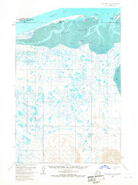
1963 · Port Moller D-4
USGS Topo · 1:63,360

1963 · Port Moller D-2
USGS Topo · 1:63,360

1983 · Port Moller B-3
USGS Topo · 1:63,360

1983 · Port Moller C-4
USGS Topo · 1:63,360
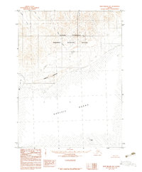
1983 · Port Moller B-4
USGS Topo · 1:63,360

1988 · Port Moller
USGS Topo · 1:250,000