Loading...
Loading map...2025 Map of Port O'Connor
USGS Topo · Published 2025About this map
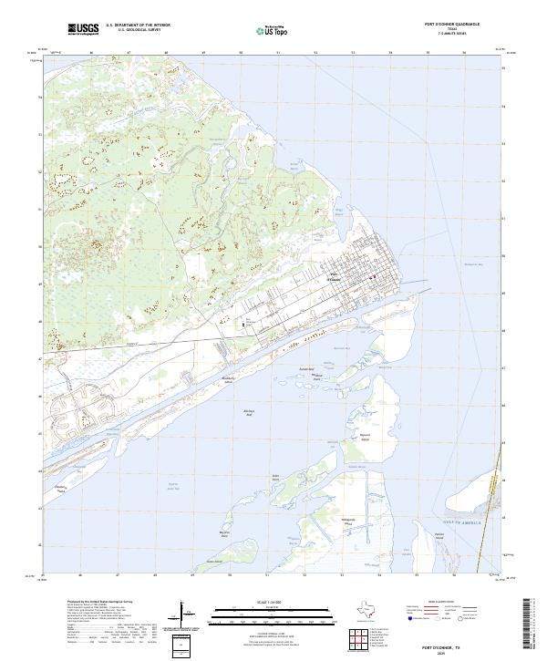
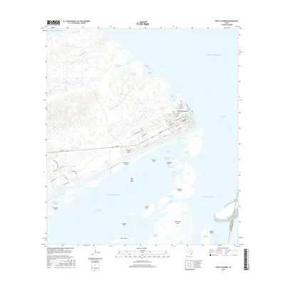
Port O'Connor is situated on the edge of the Texas coast, serving as a gateway to the expansive Matagorda Bay and Espiritu Santo Bay. The landscape is dominated by a complex network of coastal features, including Pass Cavallo, which provides a vital passage to the Gulf of America. The town's grid is clearly defined by historical street names such as Adams Ave, Jefferson Ave, and Madison Ave, while the Port O'Connor Cem sits on the western edge of the main settlement.
Find a feature on this map
76 named features on this map. Tap any name to fly to it.
Don’t see what you’re looking for? This feature index may not catch every label — zoom into the map to look around manually.
Map Details
Date Portrayed2025
Date Published2025
PublisherU.S. Geological Survey
Map TypeTopographic
Scale1:24,000
Physical Dimensions24 x 29 inches
Editions of this 2025 Port O'Connor Map
This is the sole edition of this map. No revisions or reprints were ever made.
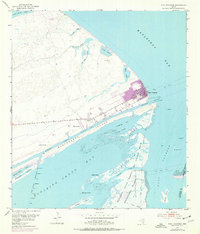
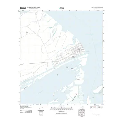
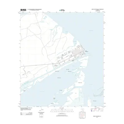
Historical Maps of Port O'Connor Through Time
7 maps found
Featured Locations
Source Details
SourceU.S. Geological Survey
CopyrightPublic Domain