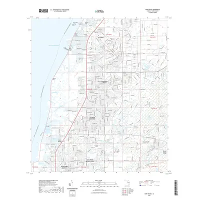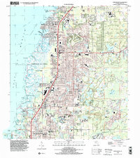
1998 Map of Port Richey
USGS Topo · Published 2002About this map
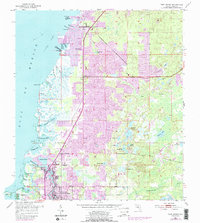
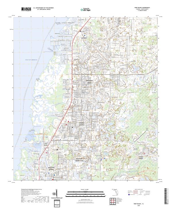
The Werner-Boyce Salt Springs State Park dominates the coastal margin of this late 1990s Pasco County landscape, preserving a network of tidal creeks and bayous including Salt Springs Run and Britches Creek. The inland area shows significant suburban development and established residential patterns near Hudson and Port Richey. The map documents a high concentration of community infrastructure, from the Regional Medical Center and Riverside Hospital to a dense network of schools like Hudson High School and the F K Marchman Technical Education Center. Water shapes the local geography, with the Pithlachascotee River flowing into Millers Bayou, while interior features like Hidden Lake Airport and several golf courses illustrate the region's recreational and transportation layout at the turn of the millennium. Local history is anchored by the Union Ch and Hudson Cem.
Find a feature on this map
66 named features on this map. Tap any name to fly to it.
Don’t see what you’re looking for? This feature index may not catch every label — zoom into the map to look around manually.
Map Details
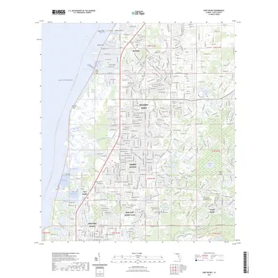
Editions of this 1998 Port Richey Map
This is the sole edition of this map. No revisions or reprints were ever made.
Historical Maps of Bayonet Point Through Time
8 maps found