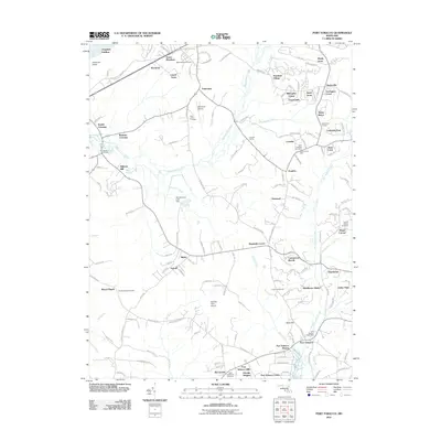
2011 Map of Port Tobacco
USGS Topo · Published 2011About this map
Port Tobacco serves as a focal point in this southern Maryland landscape, where the tides of Port Tobacco Creek meet established residential developments and preserved landmarks. The area maintains a deep connection to its past through numerous burial grounds such as Metropolitan Cemetery, Saint Johns Cemetery, and Saint Josephs Cemetery. Near the center of the sheet, the Maryland Airport and proximity to Bennsville Siding suggest the ongoing importance of transportation corridors in Charles County. A significant historical site, Habre De Venture, is situated south of Marshalls Corner, anchoring the region's heritage alongside more contemporary communities like Ellerslie Heights and Port Tobacco Riviera. The geography is defined by the winding paths of Mattawoman Creek and Hoghole Run, which drain into the broader Potomac River near Chapman Landing.
Find a feature on this map
154 named features on this map. Tap any name to fly to it.
Don’t see what you’re looking for? This feature index may not catch every label — zoom into the map to look around manually.
Map Details
Editions of this 2011 Port Tobacco Map
This is the sole edition of this map. No revisions or reprints were ever made.
Other maps of this area

1889 · Fredericksburg
USGS Topo · 1:125,000

1890 · Mt. Vernon
USGS Topo · 1:125,000

1891 · Mt. Vernon
USGS Topo · 1:125,000

1892 · Fredericksburg
USGS Topo · 1:125,000

1892 · Brandywine
USGS Topo · 1:62,500

1894 · Wicomico
USGS Topo · 1:62,500

1894 · Fredericksburg
USGS Topo · 1:125,000

1894 · Mt. Vernon
USGS Topo · 1:125,000

1895 · Wicomico
USGS Topo · 1:62,500

1895 · Brandywine
USGS Topo · 1:62,500