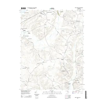
2014 Map of Port Tobacco
USGS Topo · Published 2014About this map
The Thomas Stone National Historic Site anchors the southern portion of this landscape, preserving the home of one of Maryland's signers of the Declaration of Independence. The surrounding Charles County countryside is characterized by its historical transit points and small communities, from Port Tobacco Village and Port Tobacco Riviera in the south to Bryans Road and Accokeek at the northern edge. Numerous burial grounds, including Saint Josephs Cem, Mt Carmel Cem, and Saint Johns Cem, provide a spatial record of the area's long-standing families.
Find a feature on this map
159 named features on this map. Tap any name to fly to it.
Don’t see what you’re looking for? This feature index may not catch every label — zoom into the map to look around manually.
Map Details
Editions of this 2014 Port Tobacco Map
This is the sole edition of this map. No revisions or reprints were ever made.
Other maps of this area

1889 · Fredericksburg
USGS Topo · 1:125,000

1890 · Mt. Vernon
USGS Topo · 1:125,000

1891 · Mt. Vernon
USGS Topo · 1:125,000

1892 · Fredericksburg
USGS Topo · 1:125,000

1892 · Brandywine
USGS Topo · 1:62,500

1894 · Wicomico
USGS Topo · 1:62,500

1894 · Fredericksburg
USGS Topo · 1:125,000

1894 · Mt. Vernon
USGS Topo · 1:125,000

1895 · Wicomico
USGS Topo · 1:62,500

1895 · Brandywine
USGS Topo · 1:62,500