Loading...
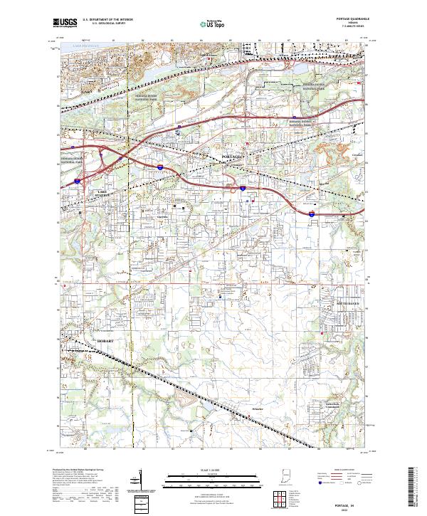
Loading map...2022 Map of Portage
USGS Topo · Published 2022About this map
Indiana Dunes National Park dominates the northern shoreline along Lake Michigan, preserving the distinct ridge-and-swale topography including the Tolleston Dune Trl. This industrial and recreational landscape is defined by the heavy footprint of Midwest Steel near Burns Harbor and the expansive rail infrastructure of CSX Transportation moving through Portage and Willow Creek.
Find a feature on this map
52 named features on this map. Tap any name to fly to it.
Don’t see what you’re looking for? This feature index may not catch every label — zoom into the map to look around manually.
Map Details
Date Portrayed2022
Date Published2022
PublisherU.S. Geological Survey
Map TypeTopographic
Scale1:24000
Physical Dimensions24 x 29 inches
Editions of this 2022 Portage Map
This is the sole edition of this map. No revisions or reprints were ever made.
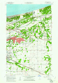
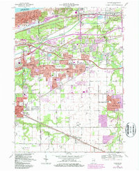
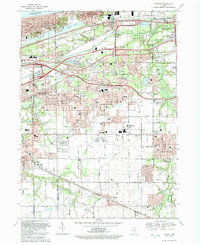
Historical Maps of Miller Beach Through Time
4 maps found
Featured Locations
Source Details
SourceU.S. Geological Survey
CopyrightPublic Domain