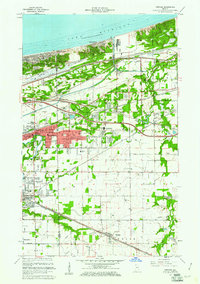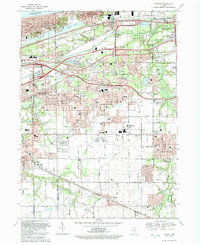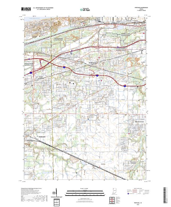
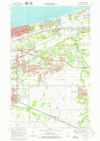
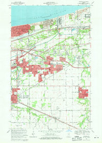
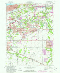
1968 Map of Portage
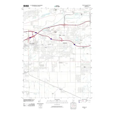
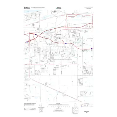
USGS Topo · Published 1987About this map
The Indiana Dunes National Lakeshore borders the southern rim of Lake Michigan, showcasing the complex transition from protected natural preserves to heavy industrial and transport corridors. This era captures the expansion of Portage and Lake Station, where suburban growth began to surround older crossroads like Crisman and McCool. The map reveals a landscape defined by its infrastructure, where the Little Calumet River and Salt Creek are bisected by an intricate web of railroads including the Conrail, Norfolk And Western, and the South Shore line.
Find a feature on this map
65 named features on this map. Tap any name to fly to it.
Don’t see what you’re looking for? This feature index may not catch every label — zoom into the map to look around manually.
Map Details
Editions of this 1968 Portage Map
4 editions found
Historical Maps of Gary Through Time
8 maps found