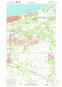
1968 Map of Portage
USGS Topo · Published 1970About this map
Lake Michigan dominates the northern horizon of this late 1960s industrial and residential landscape, where the Burns Waterway Harbor and the Little Calumet River facilitate a complex network of commerce. This era shows the heavy influence of the Penn Central and South Shore railroads as they skirt the dunes, serving growing communities like Ogden Dunes and Portage. The map documents a period of significant suburban expansion, evidenced by the dense cluster of educational institutions such as Edison Sr High Sch and Aylesworth Jr High Sch.
Find a feature on this map
68 named features on this map. Tap any name to fly to it.
Don’t see what you’re looking for? This feature index may not catch every label — zoom into the map to look around manually.
Map Details
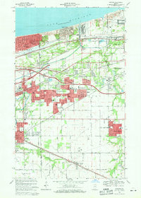
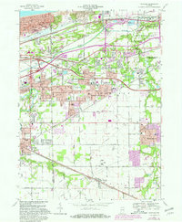
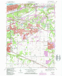
Editions of this 1968 Portage Map
4 editions found
Other maps of this area

1900 · Toleston
USGS Topo · 1:62,500

1934 · Porter
USGS Topo · 1:48,000

1940 · Porter
USGS Topo · 1:62,500

1953 · Palmer
USGS Topo · 1:24,000

1953 · Gary
USGS Topo · 1:24,000

1953 · Crown Point
USGS Topo · 1:24,000

1953 · Garyton
USGS Topo · 1:24,000

1953 · Valparaiso
USGS Topo · 1:24,000

1953 · Ogden Dunes
USGS Topo · 1:24,000

1953 · Chesterton
USGS Topo · 1:24,000