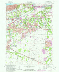
1968 Map of Portage
USGS Topo · Published 1981About this map
The Indiana Dunes National Lakeshore dominates the northern landscape of this Porter County survey, highlighting the preserved natural beauty adjacent to the heavy industrial development of Burns Harbor. The map reveals a complex intersection of transportation and settlement during the late 1960s, as the growing suburban footprints of Portage and South Haven expand near established rail corridors. Numerous historic cemeteries, including Calvary Cemetery, Blake Cem, and Janes Cem, provide essential landmarks for genealogical research in an area defined by its shift from rural crossroads to an industrial and residential hub. The intricate network of the Baltimore and Ohio Railroad and the South Shore and South Bend Railroad reflects the region's enduring role as a vital transit link between the Lake Michigan shoreline and the interior.
Find a feature on this map
56 named features on this map. Tap any name to fly to it.
Don’t see what you’re looking for? This feature index may not catch every label — zoom into the map to look around manually.
Map Details
Editions of this 1968 Portage Map
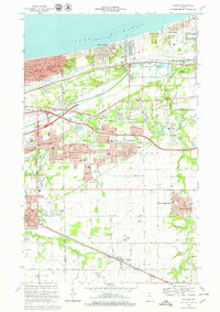
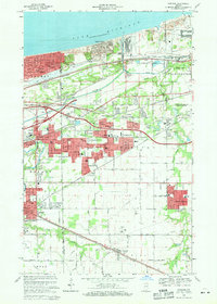
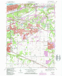
4 editions found
Other maps of this area

1900 · Toleston
USGS Topo · 1:62,500

1934 · Porter
USGS Topo · 1:48,000

1940 · Porter
USGS Topo · 1:62,500

1953 · Palmer
USGS Topo · 1:24,000

1953 · Gary
USGS Topo · 1:24,000

1953 · Crown Point
USGS Topo · 1:24,000

1953 · Garyton
USGS Topo · 1:24,000

1953 · Valparaiso
USGS Topo · 1:24,000

1953 · Ogden Dunes
USGS Topo · 1:24,000

1953 · Chesterton
USGS Topo · 1:24,000