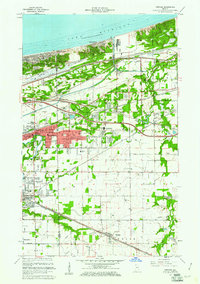
1960 Map of Portage
USGS Topo · Published 1967About this map
The industrial and residential growth of Northwest Indiana is captured here as the expanding outskirts of Gary meet the shoreline of Lake Michigan. The landscape is a dense network of major transport corridors, including the New York Central, Baltimore and Ohio, and Pennsylvania railroads, which cut through the sandy terrain and low-lying marshes. Older land divisions remain visible through the Old Indian Treaty Boundary, which slashes diagonally across the topography near Ogden Dunes.
Find a feature on this map
54 named features on this map. Tap any name to fly to it.
Don’t see what you’re looking for? This feature index may not catch every label — zoom into the map to look around manually.
Map Details
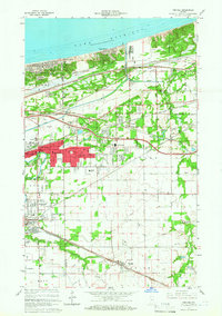
Editions of this 1960 Portage Map
2 editions found
Other maps of this area

1900 · Toleston
USGS Topo · 1:62,500

1934 · Porter
USGS Topo · 1:48,000

1940 · Porter
USGS Topo · 1:62,500

1953 · Palmer
USGS Topo · 1:24,000

1953 · Gary
USGS Topo · 1:24,000

1953 · Crown Point
USGS Topo · 1:24,000

1953 · Garyton
USGS Topo · 1:24,000

1953 · Valparaiso
USGS Topo · 1:24,000

1953 · Ogden Dunes
USGS Topo · 1:24,000

1953 · Chesterton
USGS Topo · 1:24,000