Loading...
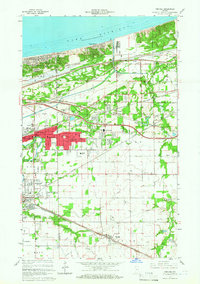
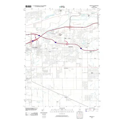
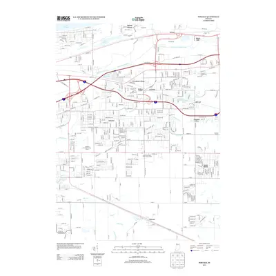
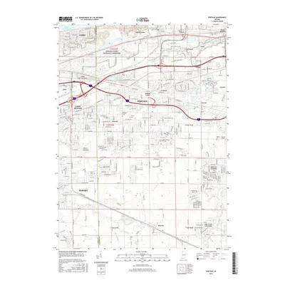
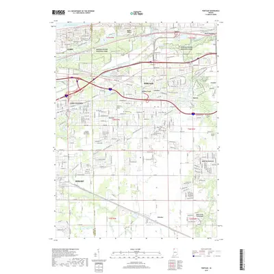
Loading map...1960 Map of Portage
USGS Topo · Published 1961About this map
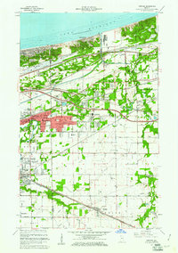
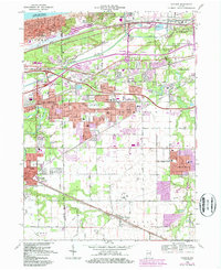
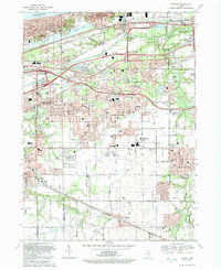
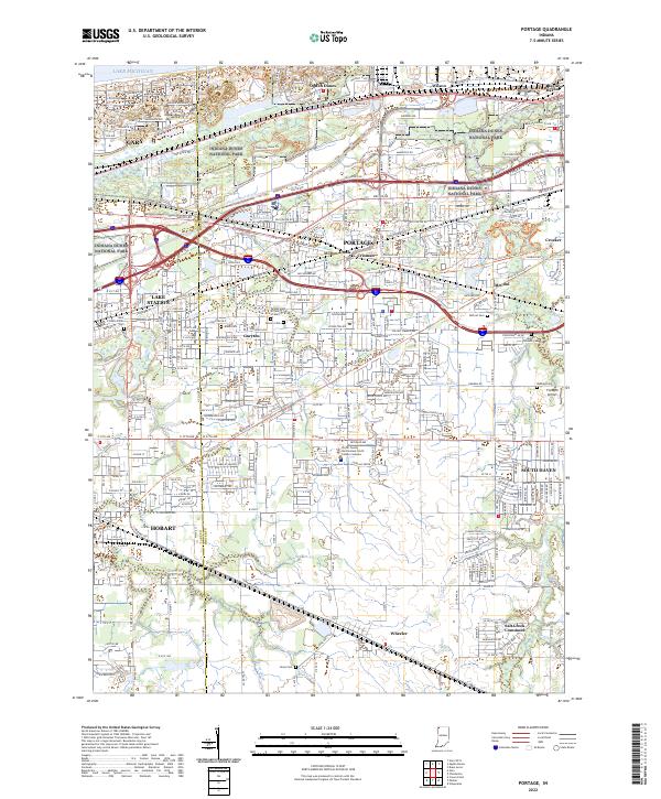
The southern shores of Lake Michigan meet a dense industrial and transit corridor in this Porter County survey. Settled areas like Portage, Gary, and East Gary are interwoven with a massive network of competing rail lines, including the Chicago South Shore and South Bend and the Elgin Joliet and Eastern. This era shows the residential expansion of communities like Inland Manor and Garyton alongside industrial sandpits and the meandering Little Calumet River.
Find a feature on this map
64 named features on this map. Tap any name to fly to it.
Don’t see what you’re looking for? This feature index may not catch every label — zoom into the map to look around manually.
Map Details
Date Portrayed1960
Date Published1961
PublisherU.S. Geological Survey
Map TypeTopographic
Scale1:24,000
Physical Dimensions22.1 x 31.3 inches
Editions of this 1960 Portage Map
2 editions found
Historical Maps of Gary Through Time
8 maps found
Featured Locations
Source Details
SourceU.S. Geological Survey
CopyrightPublic Domain