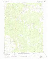
1961 Map of Porter Mountain
USGS Topo · Published 1984About this map
Grand Mesa National Forest dominates this high-altitude landscape, where the rugged plateau of The Flat Tops transitions into the steep drainages of the Gunnison National Forest. The map documents a wilderness infrastructure of water management and transit, featuring the Elizabeth Ditch and Bull Elk Ditch threading through the mountain peaks. High-elevation basins like Stillwater Park and Dead Mare Park suggest the seasonal grazing and hunting character of the region.
Find a feature on this map
42 named features on this map. Tap any name to fly to it.
Don’t see what you’re looking for? This feature index may not catch every label — zoom into the map to look around manually.
Map Details
Editions of this 1961 Porter Mountain Map
4 editions found
Other maps of this area

1955 · The Meadows
USGS Topo · 1:24,000

1957 · Leadville
USGS Topo · 1:250,000

1959 · Leadville
USGS Topo · 1:250,000

1960 · Leadville
USGS Topo · 1:250,000

1960 · Leon Peak
USGS Topo · 1:24,000

1960 · South Mamm Peak
USGS Topo · 1:24,000

1961 · Electric Mountain
USGS Topo · 1:24,000

1961 · Porter Mountain
USGS Topo · 1:24,000

1961 · Chalk Mountain
USGS Topo · 1:24,000

1961 · Spruce Mountain
USGS Topo · 1:24,000