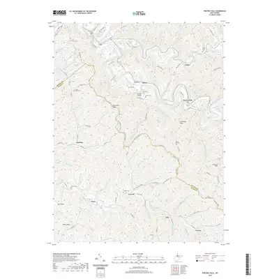
2019 Map of Porters Falls
USGS Topo · Published 2019About this map
Porters Falls and the surrounding river valleys of Fishing Creek define this portion of the West Virginia landscape. The terrain is a complex network of high ridges, including Martinsville Ridge and Chiselfinger Ridge, which separate the many named runs and forks that feed the local watershed. Small settlements like Veto, Minnie, and Iuka are scattered along the narrow lowlands and ridge roads, marking the persistent footprint of rural communities in the northern panhandle region.
Find a feature on this map
102 named features on this map. Tap any name to fly to it.
Don’t see what you’re looking for? This feature index may not catch every label — zoom into the map to look around manually.
Map Details
Editions of this 2019 Porters Falls Map
This is the sole edition of this map. No revisions or reprints were ever made.
Other maps of this area

1903 · Littleton
USGS Topo · 1:62,500

1905 · Centerpoint
USGS Topo · 1:62,500

1905 · West Union
USGS Topo · 1:62,500

1905 · Littleton
USGS Topo · 1:62,500
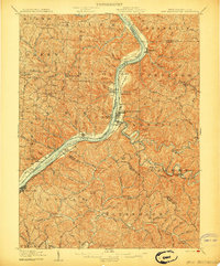
1906 · New Martinsville
USGS Topo · 1:62,500
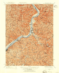
1924 · New Martinsville
USGS Topo · 1:62,500
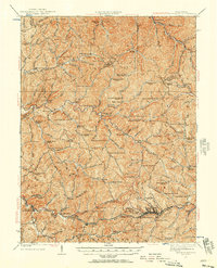
1924 · Centerpoint
USGS Topo · 1:62,500
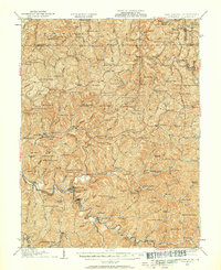
1924 · Littleton
USGS Topo · 1:62,500
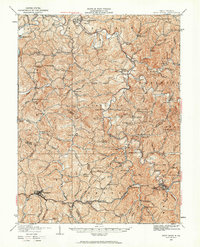
1924 · West Union
USGS Topo · 1:62,500
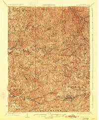
1925 · Centerpoint
USGS Topo · 1:62,500