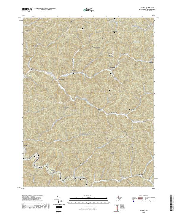
2023 Map of Porters Falls
USGS Topo · Published 2023About this map
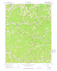
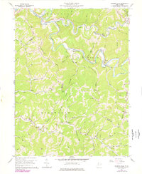
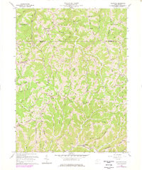
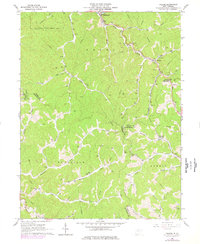
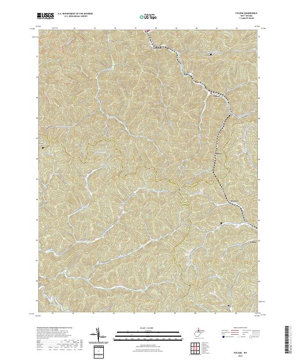
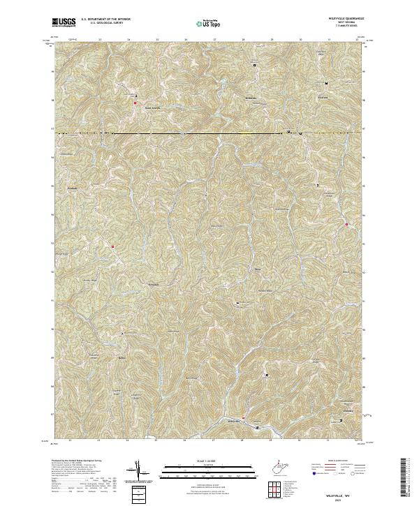
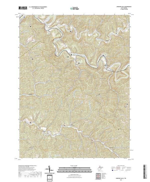
Fishing Creek winds through the heart of this landscape, anchoring the settlement at Porters Falls and connecting the small communities of Minnie and Childs. The terrain is defined by a dense network of high ridges and deep hollows, including Martinsville Ridge and Chiselfinger Ridge, which separate the various branches of Mudlick Run and Elk Fork. This modern topography provides a detailed look at the rural infrastructure of the Wetzel and Tyler County border, revealing how historical settlement patterns have persisted along the narrow creek bottoms.
Find a feature on this map
98 named features on this map. Tap any name to fly to it.
Don’t see what you’re looking for? This feature index may not catch every label — zoom into the map to look around manually.
Map Details
Editions of this 2023 Porters Falls Map
This is the sole edition of this map. No revisions or reprints were ever made.
Historical Maps of Vincen Through Time
9 maps found