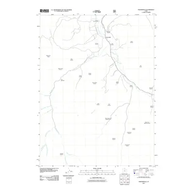
2011 Map of Porterville
USGS Topo · Published 2011About this map
Porterville sits at the confluence of several vital watercourses, where East Canyon Creek meets the drainages flowing from the surrounding peaks of Morgan County. The settlement pattern is defined by the canyon floors, with S Morgan Valley Dr and Hardscrabble Rd providing the primary access through this complex drainage network. The Richville Diversion Dam in the north suggests the importance of water management for the valley, while the Porterville Cemetery serves as a central landmark for local family history.
Find a feature on this map
46 named features on this map. Tap any name to fly to it.
Don’t see what you’re looking for? This feature index may not catch every label — zoom into the map to look around manually.
Map Details
Editions of this 2011 Porterville Map
This is the sole edition of this map. No revisions or reprints were ever made.
Other maps of this area

1885 · Salt Lake
USGS Topo · 1:250,000

1925 · Ft. Douglas
USGS Topo · 1:125,000

1928 · Ft. Douglas
USGS Topo · 1:125,000

1950 · Fort Douglas
USGS Topo · 1:24,000

1951 · Fort Douglas
USGS Topo · 1:24,000

1952 · Bountiful Peak
USGS Topo · 1:24,000

1954 · Salt Lake City
USGS Topo · 1:250,000

1954 · Ogden
USGS Topo · 1:250,000

1955 · Peterson
USGS Topo · 1:24,000

1958 · Ogden
USGS Topo · 1:250,000