
1955 Map of Peterson
USGS Topo · Published 1956About this map
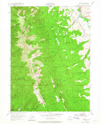
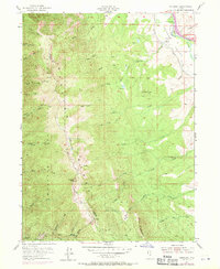
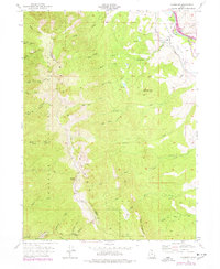
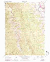
The settlement of Peterson sits at the northeastern edge of the Morgan Valley, where the Weber River flows alongside the Union Pacific rail line and the modern Gateway Canal. This mid-century survey illustrates the divide between the agricultural river bottom and the high alpine ridges of the Wasatch National Forest to the west. High-elevation landmarks like Francis Peak and Nielsons Peak overlook a complex network of drainage basins, including the various forks of Dalton Creek and Kays Creek. Along the southern border, Skyline Drive traverses the mountain crest near the Sunset Campground, providing a look at the infrastructure developed for forest access and fire management during this period. Local genealogists may find value in the specific placement of the Peterson Cem and the small residential footprint of Farmington appearing at the quadrangle's southwestern corner.
Find a feature on this map
48 named features on this map. Tap any name to fly to it.
Don’t see what you’re looking for? This feature index may not catch every label — zoom into the map to look around manually.
Map Details
Editions of this 1955 Peterson Map
5 editions found
Other maps of this area

1885 · Salt Lake
USGS Topo · 1:250,000

1925 · Ft. Douglas
USGS Topo · 1:125,000

1928 · Ft. Douglas
USGS Topo · 1:125,000

1952 · Farmington
USGS Topo · 1:24,000

1952 · Bountiful Peak
USGS Topo · 1:24,000

1954 · Salt Lake City
USGS Topo · 1:250,000

1954 · Ogden
USGS Topo · 1:250,000

1955 · Ogden
USGS Topo · 1:24,000

1955 · Kaysville
USGS Topo · 1:24,000

1955 · Snow Basin
USGS Topo · 1:24,000