
1955 Map of Ogden
USGS Topo · Published 1956About this map
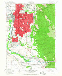
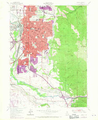
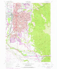
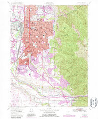
The Weber River and Ogden River converge in this mid-century portrait of a thriving mountain-basin hub, where heavy industry and institutional growth define the landscape. The city's role as a vital transportation crossroads is evident in the dense rail infrastructure of the Union Pacific and Southern Pacific lines, anchored by Union Station and the sprawling Union Stockyards. Military and government presence is significant at the Utah General Depot and the northern edge of Hill Air Force Base. Education and social history are well-represented by a high density of schools, including the Sacred Heart Academy and the State School for the Deaf and Blind, alongside the City Cemetery. Beyond the urban grid of Ogden and its southern suburbs like Washington Terrace, the terrain rises sharply into the Cache National Forest, dominated by Mount Ogden and the carved paths of Ogden Canyon.
Find a feature on this map
96 named features on this map. Tap any name to fly to it.
Don’t see what you’re looking for? This feature index may not catch every label — zoom into the map to look around manually.
Map Details
Editions of this 1955 Ogden Map
5 editions found
Other maps of this area

1954 · Ogden
USGS Topo · 1:250,000

1954 · Brigham City
USGS Topo · 1:250,000

1955 · Plain City
USGS Topo · 1:24,000

1955 · Clearfield
USGS Topo · 1:24,000

1955 · Roy
USGS Topo · 1:24,000

1955 · Peterson
USGS Topo · 1:24,000

1955 · Huntsville
USGS Topo · 1:24,000

1955 · North Ogden
USGS Topo · 1:24,000

1955 · Kaysville
USGS Topo · 1:24,000

1955 · Snow Basin
USGS Topo · 1:24,000