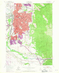
1955 Map of Ogden
USGS Topo · Published 1970About this map
Ogden dominates the landscape as a bustling transportation and education hub during this mid-century period. The map highlights a massive concentration of civic and social infrastructure, ranging from the Union Station rail terminal to Weber College and the State School for the Deaf and Blind. Residential growth is evident in the purple-tinted urban extensions of South Ogden and Washington Terrace, showing the post-war suburban shift.
Find a feature on this map
109 named features on this map. Tap any name to fly to it.
Don’t see what you’re looking for? This feature index may not catch every label — zoom into the map to look around manually.
Map Details
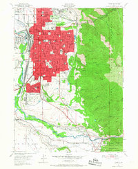
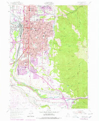
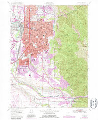
Editions of this 1955 Ogden Map
5 editions found
Other maps of this area

1954 · Ogden
USGS Topo · 1:250,000

1954 · Brigham City
USGS Topo · 1:250,000

1955 · Ogden
USGS Topo · 1:24,000

1955 · Plain City
USGS Topo · 1:24,000

1955 · Clearfield
USGS Topo · 1:24,000

1955 · Roy
USGS Topo · 1:24,000

1955 · Peterson
USGS Topo · 1:24,000

1955 · Huntsville
USGS Topo · 1:24,000

1955 · North Ogden
USGS Topo · 1:24,000

1955 · Kaysville
USGS Topo · 1:24,000