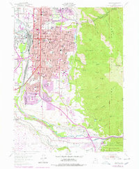
1955 Map of Ogden
USGS Topo · Published 1978About this map
The City Cemetery and the sprawling General Depot anchor this mid-century look at the urban core and mountain front of Ogden. The map reveals a dense network of civic and educational institutions, including the State School for the Deaf and Blind, Sacred Heart Academy, and several junior high schools like Mound Fort Jr High Sch and Washington Jr High Sch. To the west, the industrial character is defined by the Union Stockyards and the rail corridors of the Union Pacific and Denver & Rio Grande Western.
Find a feature on this map
64 named features on this map. Tap any name to fly to it.
Don’t see what you’re looking for? This feature index may not catch every label — zoom into the map to look around manually.
Map Details
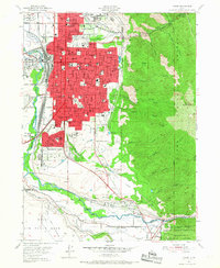
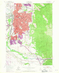
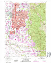
Editions of this 1955 Ogden Map
5 editions found
Other maps of this area

1954 · Ogden
USGS Topo · 1:250,000

1954 · Brigham City
USGS Topo · 1:250,000

1955 · Ogden
USGS Topo · 1:24,000

1955 · Plain City
USGS Topo · 1:24,000

1955 · Clearfield
USGS Topo · 1:24,000

1955 · Roy
USGS Topo · 1:24,000

1955 · Peterson
USGS Topo · 1:24,000

1955 · Huntsville
USGS Topo · 1:24,000

1955 · North Ogden
USGS Topo · 1:24,000

1955 · Kaysville
USGS Topo · 1:24,000