
1955 Map of Roy
USGS Topo · Published 1956About this map
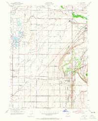
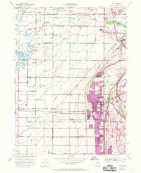
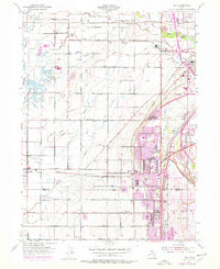
The Weber River and an intricate network of irrigation channels, including the West Weber Canal and Hooper Canal, define this mid-century agricultural landscape in the eastern Great Salt Lake basin. The transition from agrarian roots to military-industrial growth is evident, as the vast Hill Air Force Base and Utah General Depot occupy significant acreage in the eastern half. Transportation corridors are exceptionally dense here, featuring four distinct rail lines: the Southern Pacific, Union Pacific, Denver and Rio Grande Western, and the electric Bamberger line.
Find a feature on this map
83 named features on this map. Tap any name to fly to it.
Don’t see what you’re looking for? This feature index may not catch every label — zoom into the map to look around manually.
Map Details
Editions of this 1955 Roy Map
4 editions found
Other maps of this area

1954 · Antelope Island North
USGS Topo · 1:24,000

1954 · Ogden
USGS Topo · 1:250,000

1954 · Brigham City
USGS Topo · 1:250,000

1955 · Ogden
USGS Topo · 1:24,000

1955 · Plain City
USGS Topo · 1:24,000

1955 · Clearfield
USGS Topo · 1:24,000

1955 · Plain City SW
USGS Topo · 1:24,000

1955 · North Ogden
USGS Topo · 1:24,000

1955 · Kaysville
USGS Topo · 1:24,000

1955 · Ogden Bay
USGS Topo · 1:24,000