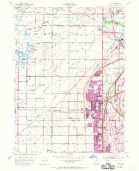
1955 Map of Roy
USGS Topo · Published 1971About this map
Roy and its neighboring communities in the mid-1950s show a landscape of rapid suburbanization and military significance. The eastern edge is dominated by the sprawling Hill Air Force Base and the Utah General Depot, connected by a dense network of major railroads including the Union Pacific, Southern Pacific, and the Denver and Rio Grande Western. While the city centers of Sunset, Clinton, and Riverdale are expanding, as shown by 1969 revisions to the urban boundaries, much of the surrounding land remains defined by agricultural infrastructure like the Davis-Weber Canal and Flinders Ditch. Smaller, established settlements like Kanesville, Taylor, and West Weber are still distinct from the growing city of Roy, while the presence of a School (Aban'd) near Wilson and several Gravel Pits reflects the area's transition from rural farming to industrial and residential growth.
Find a feature on this map
52 named features on this map. Tap any name to fly to it.
Don’t see what you’re looking for? This feature index may not catch every label — zoom into the map to look around manually.
Map Details
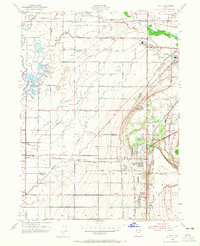
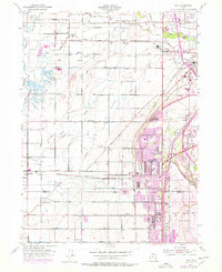
Editions of this 1955 Roy Map
4 editions found
Other maps of this area

1954 · Antelope Island North
USGS Topo · 1:24,000

1954 · Ogden
USGS Topo · 1:250,000

1954 · Brigham City
USGS Topo · 1:250,000

1955 · Ogden
USGS Topo · 1:24,000

1955 · Plain City
USGS Topo · 1:24,000

1955 · Clearfield
USGS Topo · 1:24,000

1955 · Roy
USGS Topo · 1:24,000

1955 · Plain City SW
USGS Topo · 1:24,000

1955 · North Ogden
USGS Topo · 1:24,000

1955 · Kaysville
USGS Topo · 1:24,000