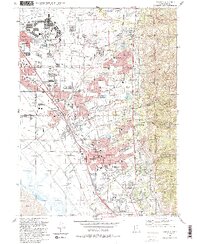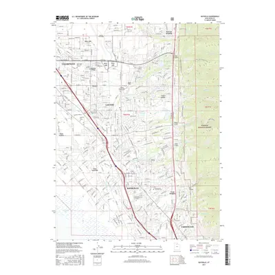
1955 Map of Kaysville
USGS Topo · Published 1956About this map
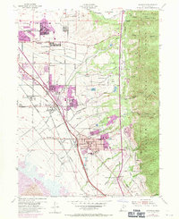
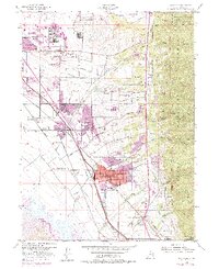
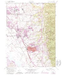
The industrial and agricultural landscape of central Davis County is defined here by the intersection of major transportation corridors and massive postwar defense expansion. Hill Air Force Base dominates the northern landscape, while the established communities of Kaysville and Layton show the dense residential patterns of the mid-1950s. The region’s water management is visible through the Davis-Weber Canal and numerous irrigation features like the Irrigation Ditch and Adams Reservoir, which supported the surrounding farms and the Utah State Experiment Farm.
Find a feature on this map
52 named features on this map. Tap any name to fly to it.
Don’t see what you’re looking for? This feature index may not catch every label — zoom into the map to look around manually.
Map Details
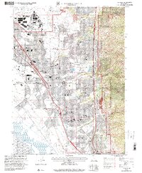
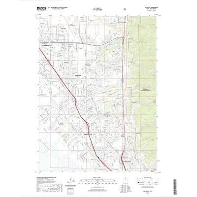
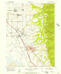
Editions of this 1955 Kaysville Map
4 editions found
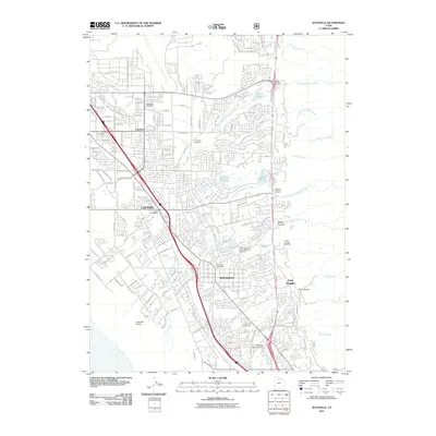
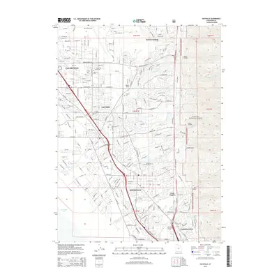
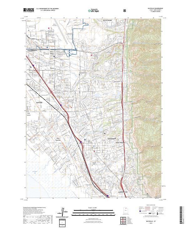
Historical Maps of Layton Through Time
8 maps found