Loading...
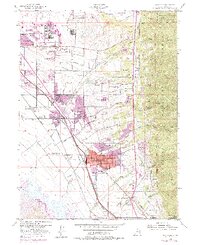
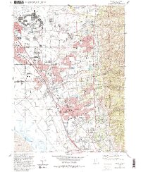
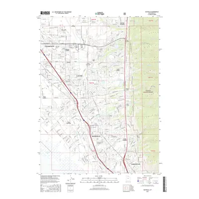
Loading map...1955 Map of Kaysville
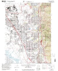
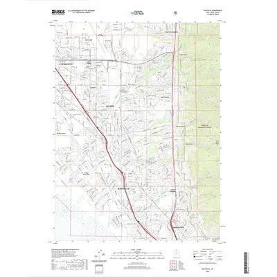
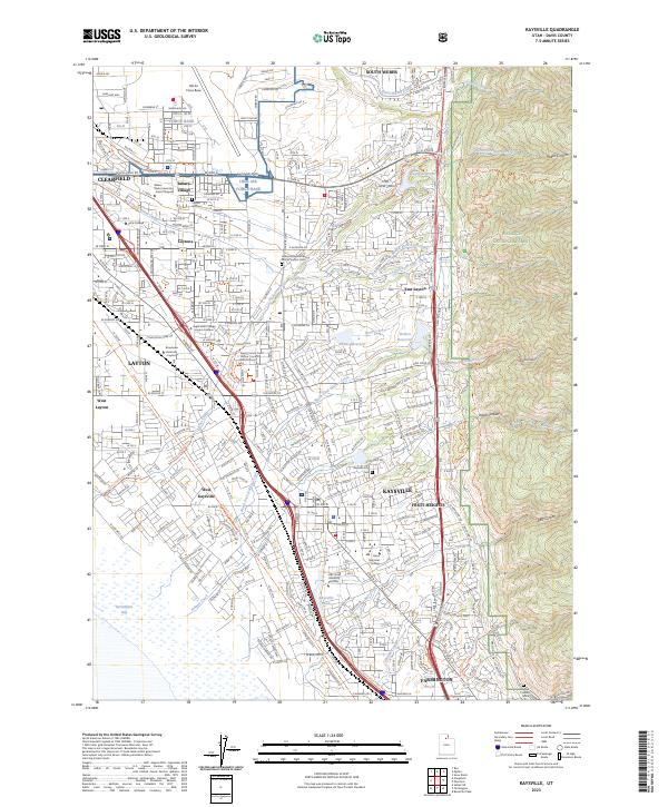
USGS Topo · Published 1985About this map
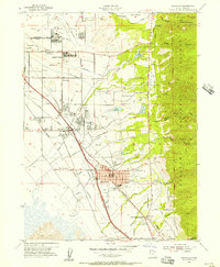
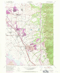
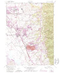
Hill Air Force Base dominates the northern reaches of this mid-century landscape, illustrating the military's significant footprint on the Wasatch Front. The expansion of residential life is evident in the transition from established hubs like Kaysville and Layton to smaller developments such as Sahara Village and Laytona. This growth is anchored by a network of essential institutions, including Davis High School and the Utah State Experiment Farm, reflecting a community balancing rapid suburbanization with its agricultural roots.
Find a feature on this map
60 named features on this map. Tap any name to fly to it.
Don’t see what you’re looking for? This feature index may not catch every label — zoom into the map to look around manually.
Map Details
Date Portrayed1955
Date Published1985
PublisherU.S. Geological Survey
Map TypeTopographic
Scale1:24,000
Physical Dimensions21.94 x 26.85 inches
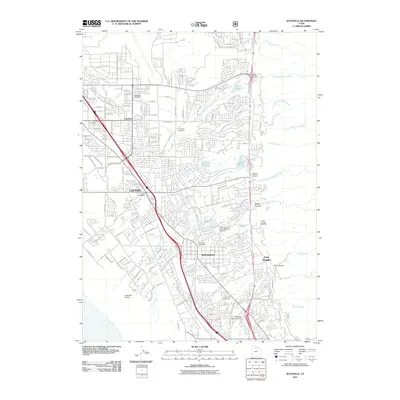
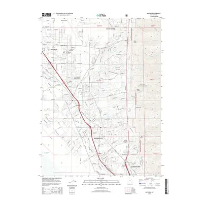
Editions of this 1955 Kaysville Map
4 editions found
Historical Maps of Layton Through Time
8 maps found
Featured Locations
Source Details
SourceU.S. Geological Survey
CopyrightPublic Domain