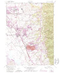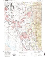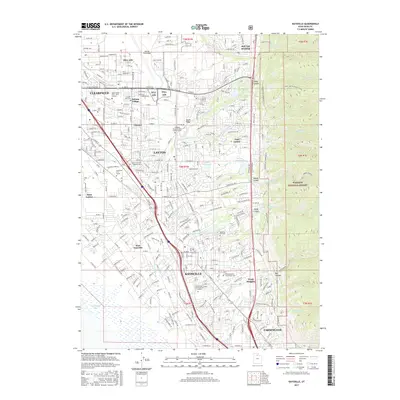
1998 Map of Kaysville
USGS Topo · Published 2001About this map
Hill Air Force Base dominates the northwestern portion of this 1990s landscape, illustrating the significant military footprint on the development of Davis County. The urban corridor stretching from Clearfield through Layton to Kaysville reveals a late-century transition toward high-density suburban expansion, characterized by a dense network of schools like Northridge High Sch and regional hubs like the Layton Hills Mall. This growth is bounded to the east by the rising slopes of the Wasatch National Forest, where deep drainages such as Webb Canyon and Bair Canyon provided critical water resources via systems like the South Weber Canal.
Find a feature on this map
94 named features on this map. Tap any name to fly to it.
Don’t see what you’re looking for? This feature index may not catch every label — zoom into the map to look around manually.
Map Details
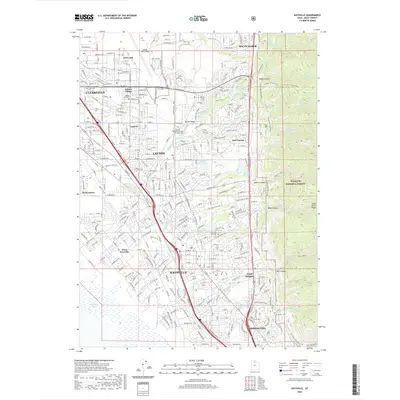
Editions of this 1998 Kaysville Map
This is the sole edition of this map. No revisions or reprints were ever made.
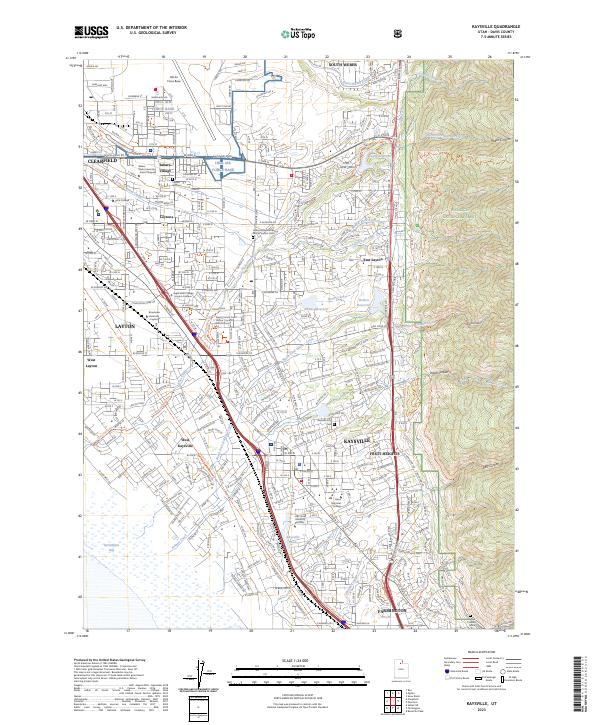
Historical Maps of Layton Through Time
8 maps found