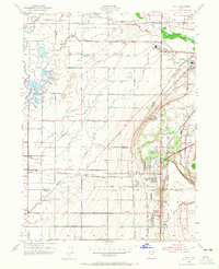
1955 Map of Roy
USGS Topo · Published 1965About this map
Hill Air Force Base and the Utah General Depot anchor the eastern landscape of this mid-century survey, illustrating the significant military footprint in the region during the 1950s. The burgeoning residential developments of Roy and Sunset sit adjacent to these installations, while the western reaches remain primarily agricultural, defined by an intricate network of irrigation including the West Weber Canal and Flinders Ditch. This geography reveals a period of transition as suburban growth begins to encroach on rural settlements like Kanesville and Taylor.
Find a feature on this map
56 named features on this map. Tap any name to fly to it.
Don’t see what you’re looking for? This feature index may not catch every label — zoom into the map to look around manually.
Map Details
Editions of this 1955 Roy Map
4 editions found
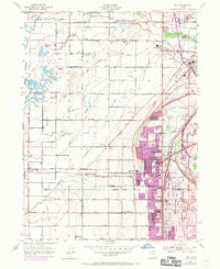
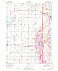
Other maps of this area

1954 · Antelope Island North
USGS Topo · 1:24,000

1954 · Ogden
USGS Topo · 1:250,000

1954 · Brigham City
USGS Topo · 1:250,000

1955 · Ogden
USGS Topo · 1:24,000

1955 · Plain City
USGS Topo · 1:24,000

1955 · Clearfield
USGS Topo · 1:24,000

1955 · Roy
USGS Topo · 1:24,000

1955 · Plain City SW
USGS Topo · 1:24,000

1955 · North Ogden
USGS Topo · 1:24,000

1955 · Kaysville
USGS Topo · 1:24,000