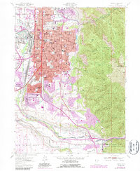
1955 Map of Ogden
USGS Topo · Published 1987About this map
Ogden's mid-century urban core and expanding residential districts are captured during a period of significant growth, dominated by the industrial and military infrastructure of the Wasatch National Forest foothills. The landscape is defined by its educational and public institutions, including the State School for the Deaf and Blind, multiple junior high schools, and the transition of Weber College to its upper campus location. To the west and south, the presence of Defense Depot Ogden and the northern edge of Hill Air Force Base underscores the region's strategic importance during the Cold War era.
Find a feature on this map
108 named features on this map. Tap any name to fly to it.
Don’t see what you’re looking for? This feature index may not catch every label — zoom into the map to look around manually.
Map Details
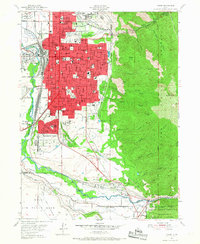
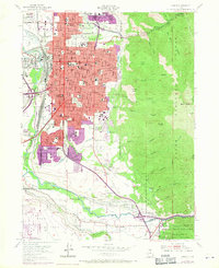
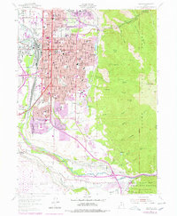
Editions of this 1955 Ogden Map
5 editions found
Other maps of this area

1954 · Ogden
USGS Topo · 1:250,000

1954 · Brigham City
USGS Topo · 1:250,000

1955 · Ogden
USGS Topo · 1:24,000

1955 · Plain City
USGS Topo · 1:24,000

1955 · Clearfield
USGS Topo · 1:24,000

1955 · Roy
USGS Topo · 1:24,000

1955 · Peterson
USGS Topo · 1:24,000

1955 · Huntsville
USGS Topo · 1:24,000

1955 · North Ogden
USGS Topo · 1:24,000

1955 · Kaysville
USGS Topo · 1:24,000