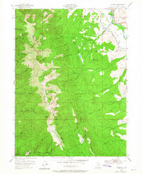
1955 Map of Peterson
USGS Topo · Published 1965About this map
Peterson sits as a primary settlement within the Morgan Valley, positioned where the Union Pacific railroad corridors and the Weber River navigate the terrain. This 1950s survey captures the region's complex water management and topography, illustrating the transition from the river valley floor to the high elevations of the Wasatch Range. The map reveals a dense network of mountain drainage systems, including the Right Hand Fork Peterson Creek and Smith Creek, which feed into the valley below. Local history is anchored by features like the Peterson Cem and the remote Sunset Campground. Prominent peaks such as Francis Peak and Nielsons Peak define the western skyline, marking the rugged boundary between Morgan and Davis Counties as it was recorded during the mid-century.
Find a feature on this map
41 named features on this map. Tap any name to fly to it.
Don’t see what you’re looking for? This feature index may not catch every label — zoom into the map to look around manually.
Map Details
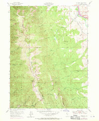
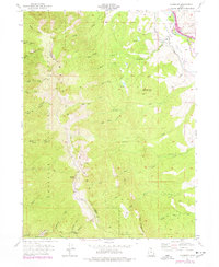
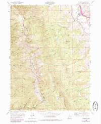
Editions of this 1955 Peterson Map
5 editions found
Other maps of this area

1885 · Salt Lake
USGS Topo · 1:250,000

1925 · Ft. Douglas
USGS Topo · 1:125,000

1928 · Ft. Douglas
USGS Topo · 1:125,000

1952 · Farmington
USGS Topo · 1:24,000

1952 · Bountiful Peak
USGS Topo · 1:24,000

1954 · Salt Lake City
USGS Topo · 1:250,000

1954 · Ogden
USGS Topo · 1:250,000

1955 · Ogden
USGS Topo · 1:24,000

1955 · Peterson
USGS Topo · 1:24,000

1955 · Kaysville
USGS Topo · 1:24,000