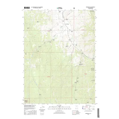
2017 Map of Porterville
USGS Topo · Published 2017About this map
Porterville sits at the northern end of this survey, where the waters of East Canyon Cr and Hardscrabble Cr converge within Morgan Valley. The map details a landscape defined by its deep drainages and named hollows, such as Taggart Hollow, Spring Hollow, and Tucker Hollow, which carve into the surrounding Wasatch Range. A notable local landmark is the uniquely named Field of Dreams Airport, located just west of the main settlement area.
Find a feature on this map
50 named features on this map. Tap any name to fly to it.
Don’t see what you’re looking for? This feature index may not catch every label — zoom into the map to look around manually.
Map Details
Editions of this 2017 Porterville Map
This is the sole edition of this map. No revisions or reprints were ever made.
Other maps of this area

1885 · Salt Lake
USGS Topo · 1:250,000
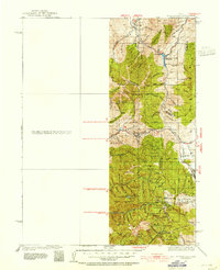
1925 · Ft. Douglas
USGS Topo · 1:125,000
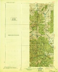
1928 · Ft. Douglas
USGS Topo · 1:125,000
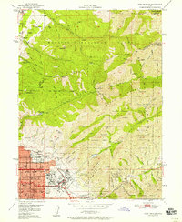
1950 · Fort Douglas
USGS Topo · 1:24,000
1951 · Fort Douglas
USGS Topo · 1:24,000
1952 · Bountiful Peak
USGS Topo · 1:24,000
1954 · Salt Lake City
USGS Topo · 1:250,000

1954 · Ogden
USGS Topo · 1:250,000
1955 · Peterson
USGS Topo · 1:24,000
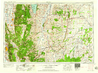
1958 · Ogden
USGS Topo · 1:250,000