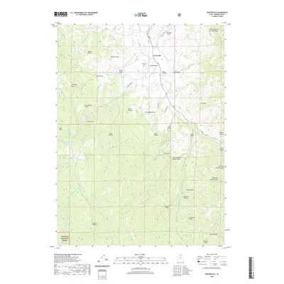
2020 Map of Porterville
USGS Topo · Published 2020About this map
Porterville sits at the northern edge of this landscape where Morgan Valley meets the foothills of the Wasatch Range. The settlement is defined by its proximity to the Porterville Cem and the small Field of Dreams Airport, with the community's rural character preserved through a network of local roads like Hardscrabble Rd and Co Rd 100 E. South of the valley, the terrain becomes increasingly complex as the Wasatch National Forest encompasses a dense collection of canyons and hollows. Drainage patterns are dictated by Hardscrabble Cr and East Canyon Creek, which carve through prominent landmarks such as The Narrows and Cataract Canyon. Genealogists and local historians can trace family associations through numerous named geographic features, such as Joe Durrant Hollow and Tom Adams Hollow, which reflect the early land-use history and ranching legacy of the region.
Find a feature on this map
49 named features on this map. Tap any name to fly to it.
Don’t see what you’re looking for? This feature index may not catch every label — zoom into the map to look around manually.
Map Details
Editions of this 2020 Porterville Map
This is the sole edition of this map. No revisions or reprints were ever made.
Other maps of this area

1885 · Salt Lake
USGS Topo · 1:250,000

1925 · Ft. Douglas
USGS Topo · 1:125,000

1928 · Ft. Douglas
USGS Topo · 1:125,000

1950 · Fort Douglas
USGS Topo · 1:24,000

1951 · Fort Douglas
USGS Topo · 1:24,000

1952 · Bountiful Peak
USGS Topo · 1:24,000

1954 · Salt Lake City
USGS Topo · 1:250,000

1954 · Ogden
USGS Topo · 1:250,000

1955 · Peterson
USGS Topo · 1:24,000

1958 · Ogden
USGS Topo · 1:250,000