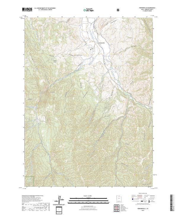
2023 Map of Porterville
USGS Topo · Published 2023About this map
Porterville sits at the junction of several canyon systems in the Wasatch Range, where the settlement is defined by the flow of East Canyon Creek and Hardscrabble Creek. The local landscape is a network of named drainage basins and hollows, including Taggart Hollow and Norwood Canyon to the north, which converge toward the valley floor. To the west, Mahogany Ridge and Cottonwood Canyon rise into the protected lands of the Wasatch National Forest, illustrating the sharp boundary between small-scale agriculture and mountain wilderness.
Find a feature on this map
49 named features on this map. Tap any name to fly to it.
Don’t see what you’re looking for? This feature index may not catch every label — zoom into the map to look around manually.
Map Details
Editions of this 2023 Porterville Map
This is the sole edition of this map. No revisions or reprints were ever made.
Other maps of this area

1885 · Salt Lake
USGS Topo · 1:250,000

1925 · Ft. Douglas
USGS Topo · 1:125,000

1928 · Ft. Douglas
USGS Topo · 1:125,000

1950 · Fort Douglas
USGS Topo · 1:24,000

1951 · Fort Douglas
USGS Topo · 1:24,000

1952 · Bountiful Peak
USGS Topo · 1:24,000

1954 · Salt Lake City
USGS Topo · 1:250,000

1954 · Ogden
USGS Topo · 1:250,000

1955 · Peterson
USGS Topo · 1:24,000

1958 · Ogden
USGS Topo · 1:250,000