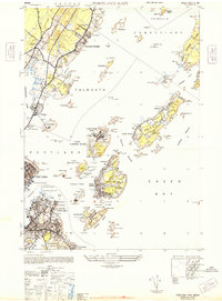
1944 Map of Portland East
USGS Topo · Published 1948About this map
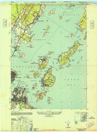
The coastal defenses of Casco Bay dominate this mid-century survey, revealing a landscape defined by military readiness and maritime commerce during the final years of the Second World War. Heavy fortifications including Fort McKinley on Great Diamond Island, Fort Levett on Cushing Island, and Fort Williams at the southern tip stand as sentinels over the harbor approaches. To the north, the affluent residential character of Falmouth Foreside and the Portland Country Club contrasts with the industrial waterfront, where the Grand Trunk railroad lines and the U S Marine Hospital mark the edge of the city. Numerous islands such as Peak Island and Long Island show a mix of civilian settlement, shown at Mariner and Trefethen, and extensive Army Reservation and Naval Reservation zones. Navigational markers like Portland Breakwater Light and the Spring Point Ledge Light secure the vital Fore River and Portland Harbor channels.
Find a feature on this map
103 named features on this map. Tap any name to fly to it.
Don’t see what you’re looking for? This feature index may not catch every label — zoom into the map to look around manually.
Map Details
Editions of this 1944 Portland East Map
2 editions found
Other maps of this area

1891 · Portland
USGS Topo · 1:62,500

1892 · Freeport
USGS Topo · 1:62,500

1893 · Portland
USGS Topo · 1:62,500

1893 · Casco Bay
USGS Topo · 1:62,500

1894 · Gray
USGS Topo · 1:62,500

1898 · Gray
USGS Topo · 1:62,500

1914 · Portland
USGS Topo · 1:48,000

1914 · Casco Bay
USGS Topo · 1:48,000

1916 · Portland
USGS Topo · 1:62,500

1916 · Casco Bay
USGS Topo · 1:62,500