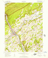
1955 Map of Portland
USGS Topo · Published 1957About this map
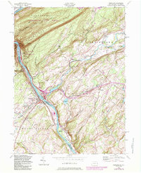
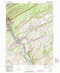
The Delaware River carves a dramatic path through the Delaware Water Gap in the mid-1950s, serving as the border between Pahaquarry, New Jersey, and Upper Mount Bethel, Pennsylvania. This area is a dense nexus of mid-century transportation, where the Pennsylvania Railroad and the Delaware Lackawanna and Western converge near Portland and Columbia. To the north, the Appalachian Trail follows the ridge of Kittatinny Mountain, overlooking an undeveloped state forest. Local life centers around small settlements like Hainesburg, where the Hainesburg Station serves the New York Susquehanna and Western line. The landscape is also marked by several youth retreats and camps, including Camp Weygadt and Camp Mohican, highlighting the region's transition from an industrial corridor to a recreational destination.
Find a feature on this map
66 named features on this map. Tap any name to fly to it.
Don’t see what you’re looking for? This feature index may not catch every label — zoom into the map to look around manually.
Map Details
Editions of this 1955 Portland Map
6 editions found
Other maps of this area

1888 · Hackettstown
USGS Topo · 1:62,500

1891 · Wallpack
USGS Topo · 1:62,500

1891 · Delaware Water Gap
USGS Topo · 1:62,500

1893 · Delaware Water Gap
USGS Topo · 1:62,500

1893 · Wallpack
USGS Topo · 1:62,500

1894 · Hackettstown
USGS Topo · 1:62,500

1898 · Hackettstown
USGS Topo · 1:62,500

1900 · Raritan
USGS Topo · 1:125,000

1905 · Raritan
USGS Topo · 1:125,000

1905 · Hackettstown
USGS Topo · 1:62,500