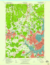
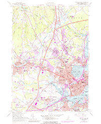
1956 Map of Portland West
USGS Topo · Published 1958About this map
The industrial and educational hub of Southern Maine is captured here in the mid-1950s, showing the dense development of Portland and its surrounding communities. The landscape is defined by the Fore River and Back Cove, where maritime infrastructure meets the rail lines of the Portland Terminal and Canadian National. Educational landmarks are prominent, including the University of Maine (Portland) and Westbrook Junior College.
Find a feature on this map
124 named features on this map. Tap any name to fly to it.
Don’t see what you’re looking for? This feature index may not catch every label — zoom into the map to look around manually.
Map Details
Editions of this 1956 Portland West Map
6 editions found
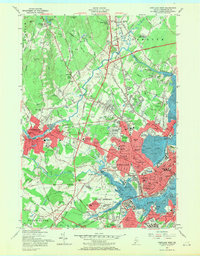
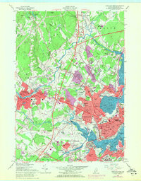
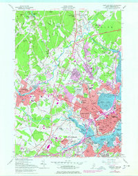
Other maps of this area

1891 · Portland
USGS Topo · 1:62,500

1892 · Freeport
USGS Topo · 1:62,500

1893 · Portland
USGS Topo · 1:62,500

1893 · Casco Bay
USGS Topo · 1:62,500

1894 · Gray
USGS Topo · 1:62,500

1898 · Gray
USGS Topo · 1:62,500

1914 · Portland
USGS Topo · 1:48,000

1914 · Casco Bay
USGS Topo · 1:48,000

1916 · Portland
USGS Topo · 1:62,500

1916 · Casco Bay
USGS Topo · 1:62,500