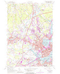
1956 Map of Portland West
USGS Topo · Published 1988About this map
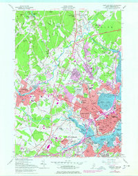
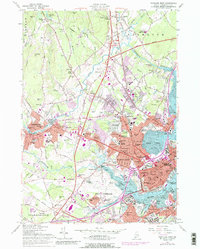
Industrial and educational growth define the western landscape of Portland as it appeared in the mid-1950s. The Presumpscot River winds through the northern reaches, powering Cumberland Mills and passing Presumpscot Falls near West Falmouth Corner. The urban expansion of Westbrook and South Portland is evident, with neighborhoods like Sagamore Village and Rosemont filling the spaces between established hubs.
Find a feature on this map
126 named features on this map. Tap any name to fly to it.
Don’t see what you’re looking for? This feature index may not catch every label — zoom into the map to look around manually.
Map Details
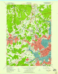
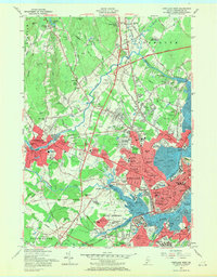
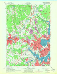
Editions of this 1956 Portland West Map
6 editions found
Other maps of this area

1891 · Portland
USGS Topo · 1:62,500

1892 · Freeport
USGS Topo · 1:62,500

1893 · Portland
USGS Topo · 1:62,500

1893 · Casco Bay
USGS Topo · 1:62,500

1894 · Gray
USGS Topo · 1:62,500

1898 · Gray
USGS Topo · 1:62,500

1914 · Portland
USGS Topo · 1:48,000

1914 · Casco Bay
USGS Topo · 1:48,000

1916 · Portland
USGS Topo · 1:62,500

1916 · Casco Bay
USGS Topo · 1:62,500